
Le tour des villages de la vallée du Baztan
- Mis à jour le 10/08/2022
- Identifiant 1815013


|
durée / niveau
Rando pédestre
|
distance
11,8 km
type parcours
Boucle
|
|||||||||
|
Lieu de départ
Ainhoa
|
accessibilite
|
|||||||||
|
prestations payantes
Non
|
type(s) de sol
Bitume
Terre |
|||||||||
description
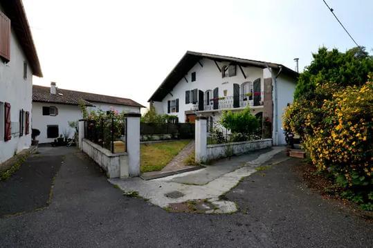
Hébergements à proximité
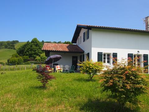
maison entre mer et montagne 4 étoiles 2020
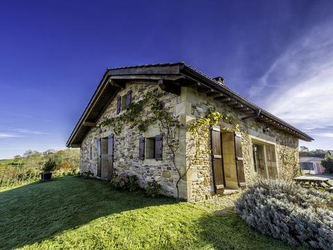
BERGERIE dans Village TYPIQUE. Trois ÉTOILES.
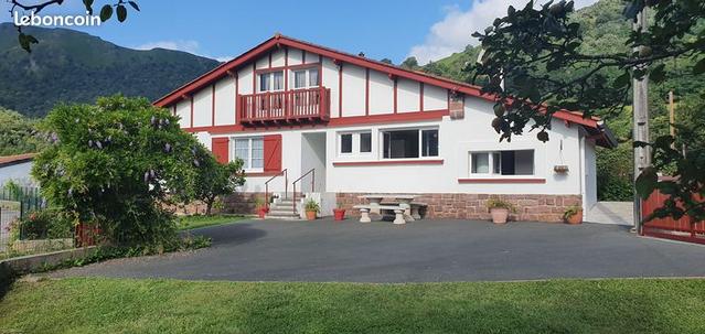
A 15 min d'Espelette, gîte neuf à la campagne
Chambre "Artiste" - Etxe Arrosa
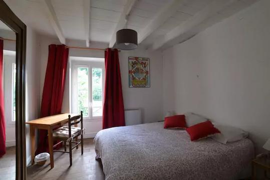
Chambre "Basque" - Etxe Arrosa
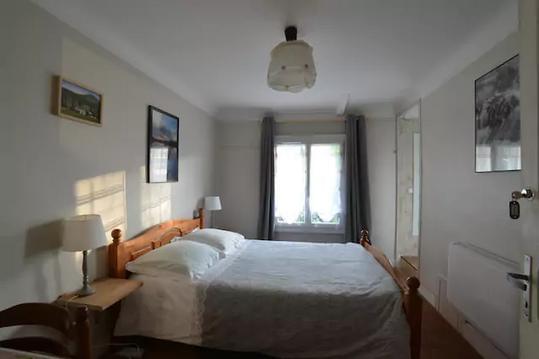
Chambre "Campagne" - Etxe Arrosa
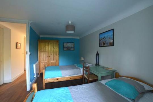
"Chambre Estivale" - Etxe Arrosa
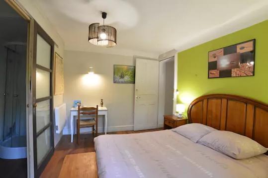
Chambre Détente - Etxe Arrosa

infos parcours (14)
Parking de l'église
A droite, à l'Ermitage Santiago
Maison Indaburua
A droite, à la maison avec portail en fer noir
Chemin empierré à gauche
panneau et sculpture
Chemin à droite
A gauche à la patte d oie
Traversée du Batzan
2 grands chênes à gauche
A gauche vers de belles fermes
Panneau pancarte à gauche
Charmant petit pont
Parking de l'église
yves
Cartes associées
