
La tête du coquin. secteur Celles sur plaine.
- Mis à jour le 18/04/2025
- Identifiant 1835688


|
durée / niveau
Rando pédestre
|
distance
11,1 km
type parcours
|
|||||||||
|
Lieu de départ
88110 Celles-sur-Plaine
|
accessibilite
|
|||||||||
|
prestations payantes
Non
|
type(s) de sol
Bitume
Graviers Sable Herbe Rochers |
|||||||||
description
Hébergements à proximité
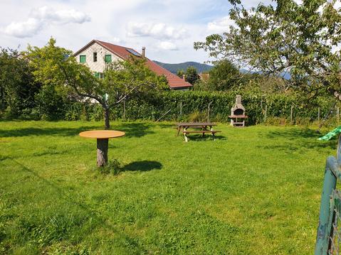
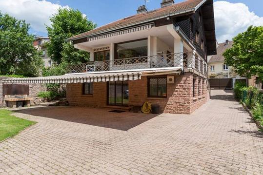
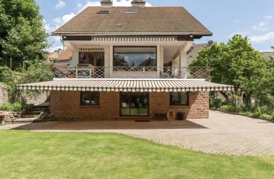
maison de vacances a freconrupt
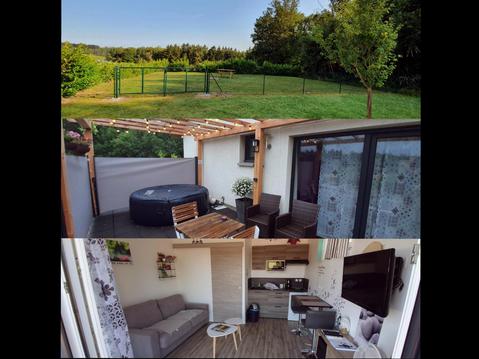
Studio , Spa , nature et forêt au cœur des Vosges
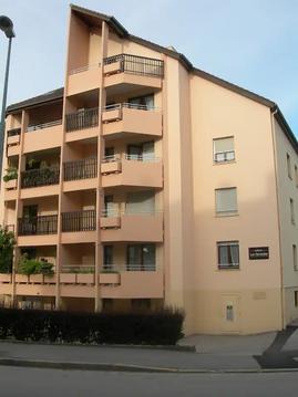
SUPERBE F2+ PLEIN COEUR DE VILLE 3* GR STANDING
MAGNIFIQUE REZ JARDIN PLEIN COEUR VILLE
SUPERBE STUDIO PLEIN COEUR VILLE
Magnifique rez Jardin + Superbe T2 + & Studio
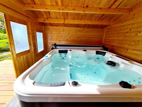
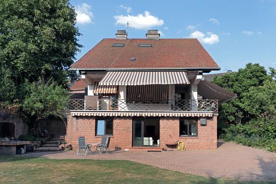
Le Chalet Aura & jacuzzi
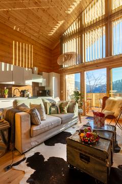
LE CHALET DES BOIS

infos parcours (13)
Parking Lac Vert
Bifurcation
Carrefour de la vierge sans nom
Fourche
Fontaine Pierre Lette
Fontaine des Boeufs
Fontaine du Coquin
Fontaine de Riangoutte
Bifurcation
Parking
Tête du Coquin
Col Ferry
Le Pain de Sucre
Théo
Cartes associées
