
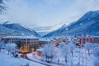
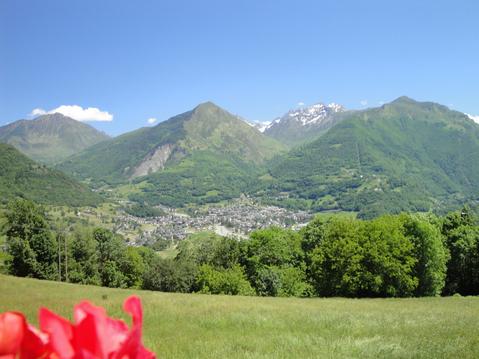
Pont d'espagne - Refuge Wallon
- Mis à jour le 26/08/2022
- Identifiant 1836452
Sélectionner le fond de carte

PLAN IGN

PHOTOS AERIENNES

CARTES IGN MULTI-ECHELLES

TOP 25 IGN

CARTES DES PENTES

PARCELLES CADASTRALES

CARTES OACI

CARTES 1950 IGN

CARTE DE L’ETAT-MAJOR (1820-1866)

Open Street Map
Afficher les points d'intérêt à proximité
Hébergements
Informations
Lieux d'intérêts
Producteurs
Restauration
Services et Commerces
Autre
Echelle
|
durée / niveau
Rando pédestre
|
distance
15,0 km
type parcours
|
|||||||||
|
Lieu de départ
Cauterets
|
accessibilite
|
|||||||||
|
prestations payantes
Non
|
type(s) de sol
Terre
|
|||||||||
|
Mots clés
pont, refuge, wallon, mercado, d'espagne
|
||||||||||
description
Itinéraire du pont d'Espagne au refuge Wallon
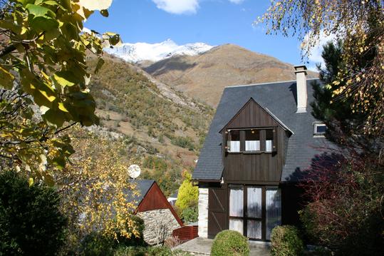
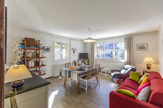
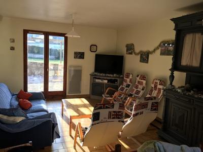
Hébergements à proximité


infos parcours (16)
1
Refuge Wallon Marcadau
Distance: 15.087 www.openrunner.com/index.php?id=261815
Informations complémentaires
kilomètre
0,00
latitude
42.8519
altitude
1463
m
longitude
-0.13668
2
15
Informations complémentaires
kilomètre
0,08
latitude
42.8516
altitude
1466
m
longitude
-0.137624
3
14
Informations complémentaires
kilomètre
0,99
latitude
42.8507
altitude
1521
m
longitude
-0.145332
4
2
Informations complémentaires
kilomètre
1,90
latitude
42.8502
altitude
1578
m
longitude
-0.156056
5
13
Informations complémentaires
kilomètre
2,02
latitude
42.85
altitude
1590
m
longitude
-0.157093
6
3
Informations complémentaires
kilomètre
2,87
latitude
42.8459
altitude
1619
m
longitude
-0.164596
7
12
Informations complémentaires
kilomètre
2,94
latitude
42.8452
altitude
1620
m
longitude
-0.165071
8
11
Informations complémentaires
kilomètre
3,93
latitude
42.8378
altitude
1672
m
longitude
-0.167443
9
5
Informations complémentaires
kilomètre
4,82
latitude
42.8318
altitude
1715
m
longitude
-0.173239
10
10
Informations complémentaires
kilomètre
4,93
latitude
42.8312
altitude
1711
m
longitude
-0.173875
11
6
Informations complémentaires
kilomètre
5,75
latitude
42.8264
altitude
1769
m
longitude
-0.181243
12
7
Informations complémentaires
kilomètre
6,76
latitude
42.8198
altitude
1820
m
longitude
-0.189131
13
8
Informations complémentaires
kilomètre
6,82
latitude
42.8195
altitude
1823
m
longitude
-0.190099
14
9
Informations complémentaires
kilomètre
8,69
latitude
42.8258
altitude
1777
m
longitude
-0.181971
15
4
Informations complémentaires
kilomètre
10,75
latitude
42.8385
altitude
1655
m
longitude
-0.167689
16
1
Informations complémentaires
kilomètre
13,70
latitude
42.8512
altitude
1519
m
longitude
-0.14455
Yann
Note moyenne
Cartes associées
