
12 : Amiens Hippodrome > Hébécourt
- Mis à jour le 15/09/2022
- Identifiant 1859028
Sélectionner le fond de carte

PLAN IGN

PHOTOS AERIENNES

CARTES IGN MULTI-ECHELLES

TOP 25 IGN

CARTES DES PENTES

PARCELLES CADASTRALES

CARTES OACI

CARTES 1950 IGN

CARTE DE L’ETAT-MAJOR (1820-1866)

Open Street Map
Afficher les points d'intérêt à proximité
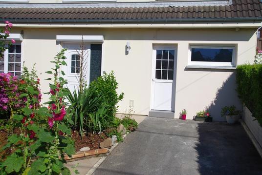
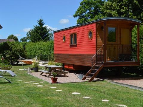
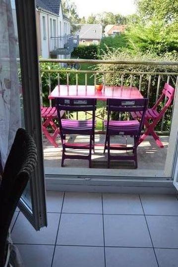
Hébergements
Informations
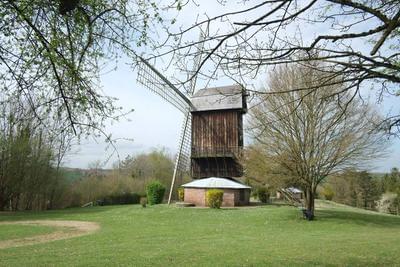
Lieux d'intérêts
Producteurs
Restauration
Services et Commerces
Autre
Echelle
|
durée / niveau
Attelage
|
distance
15,4 km
type parcours
Aller Simple
|
|||||||||
|
Lieu de départ
80000 Amiens
|
accessibilite
|
|||||||||
|
prestations payantes
Non
|
type(s) de sol
|
|||||||||
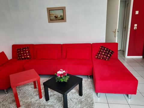
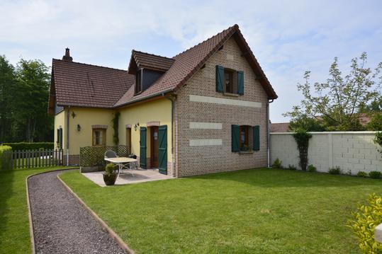
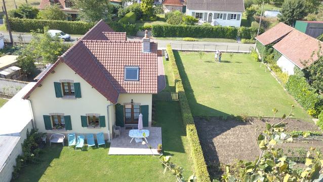
Hébergements à proximité


infos parcours (22)
1
80000 Amiens
01
Informations complémentaires
80000 Amiens
kilomètre
1,08
latitude
49.8907
altitude
42
m
longitude
2.27705
2
80000 Amiens
02
Informations complémentaires
80000 Amiens
kilomètre
2,22
latitude
49.8816
altitude
64
m
longitude
2.28492
3
80000 Amiens
03
Informations complémentaires
80000 Amiens
kilomètre
3,73
latitude
49.8788
altitude
65
m
longitude
2.30524
4
80000 Amiens
04
Informations complémentaires
80000 Amiens
kilomètre
4,59
latitude
49.871
altitude
61
m
longitude
2.30709
5
80480 Dury
05
Informations complémentaires
80480 Dury
kilomètre
5,19
latitude
49.8715
altitude
64
m
longitude
2.29888
6
80480 Dury
06
Informations complémentaires
80480 Dury
kilomètre
6,09
latitude
49.8634
altitude
100
m
longitude
2.29607
7
80480 Dury
07
Informations complémentaires
80480 Dury
kilomètre
6,75
latitude
49.8643
altitude
103
m
longitude
2.28695
8
80480 Dury
08
Informations complémentaires
80480 Dury
kilomètre
7,67
latitude
49.8561
altitude
109
m
longitude
2.28573
9
80480 Dury
09
Informations complémentaires
80480 Dury
kilomètre
8,66
latitude
49.8475
altitude
114
m
longitude
2.2814
10
80680 Saint-Fuscien
10
Informations complémentaires
80680 Saint-Fuscien
kilomètre
9,51
latitude
49.8415
altitude
109
m
longitude
2.28187
11
80680 Saint-Fuscien
11
Informations complémentaires
80680 Saint-Fuscien
kilomètre
10,07
latitude
49.8383
altitude
89
m
longitude
2.28685
12
80680 Saint-Fuscien
12
Informations complémentaires
80680 Saint-Fuscien
kilomètre
10,86
latitude
49.8337
altitude
62
m
longitude
2.29556
13
80680 Saint-Fuscien
13
Informations complémentaires
80680 Saint-Fuscien
kilomètre
11,26
latitude
49.8305
altitude
61
m
longitude
2.2957
14
80680 Saint-Fuscien
14
Informations complémentaires
80680 Saint-Fuscien
kilomètre
12,30
latitude
49.8254
altitude
93
m
longitude
2.28404
15
80680 Hébécourt
15
Informations complémentaires
80680 Hébécourt
kilomètre
13,11
latitude
49.8211
altitude
105
m
longitude
2.27519
16
80680 Hébécourt
16
Informations complémentaires
80680 Hébécourt
kilomètre
13,81
latitude
49.8186
altitude
113
m
longitude
2.26649
17
80680 Hébécourt
- 500m
Informations complémentaires
80680 Hébécourt
kilomètre
14,00
latitude
49.8198
altitude
114
m
longitude
2.26454
18
80680 Hébécourt
- 400m
Informations complémentaires
80680 Hébécourt
kilomètre
14,08
latitude
49.8192
altitude
114
m
longitude
2.26394
19
80680 Hébécourt
- 300m
Informations complémentaires
80680 Hébécourt
kilomètre
14,18
latitude
49.8183
altitude
114
m
longitude
2.26362
20
80680 Hébécourt
- 200m
Informations complémentaires
80680 Hébécourt
kilomètre
14,28
latitude
49.8174
altitude
115
m
longitude
2.2633
21
80680 Hébécourt
- 100m
Informations complémentaires
80680 Hébécourt
kilomètre
14,41
latitude
49.8166
altitude
115
m
longitude
2.26295
22
80680 Hébécourt
12-13_LIGNE_CHRONO
Informations complémentaires
80680 Hébécourt
kilomètre
14,48
latitude
49.8157
altitude
116
m
longitude
2.26246

