
Tréguier > Paimpol
- Mis à jour le 03/11/2022
- Identifiant 1915399


|
durée / niveau
Cyclo tourisme
|
distance
40,8 km
type parcours
Aller Simple
|
|||||||||
|
Lieu de départ
22220 Tréguier
|
accessibilite
|
|||||||||
|
prestations payantes
Non
|
type(s) de sol
Bitume
|
|||||||||
Hébergements à proximité
gite de charme Presqu'ile de Pleubian en Tregor
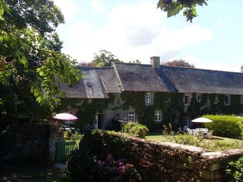
grand gite du vieux manoir en tregor
RADENDOUR
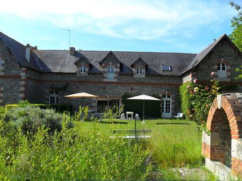
Gîte de Pellinec
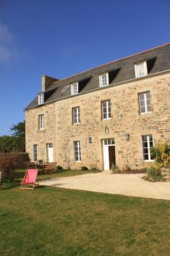
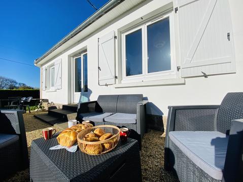
Maison de famille proche mer et commodités, pour
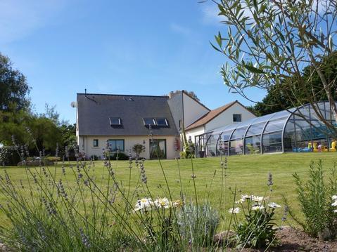
A PORT-BLANC, GRANDE MAISON CONFORTABLE, JARDIN
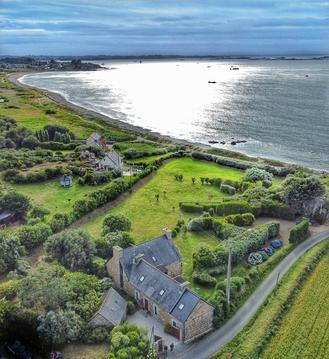
Kermohic: emplacement rare sur le front de mer
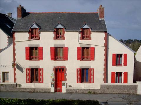
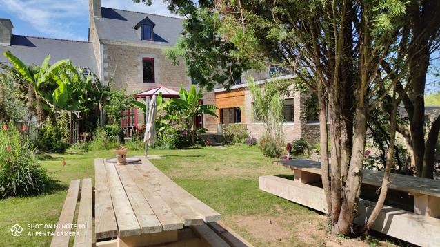
Grand gîte 15 personnes proche mer

infos parcours (13)
MIKAEL
Cartes associées
