
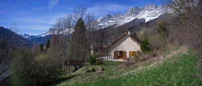
Jocou par col de Menée
- Mis à jour le 10/11/2022
- Identifiant 1922065
Sélectionner le fond de carte

PLAN IGN

PHOTOS AERIENNES

CARTES IGN MULTI-ECHELLES

TOP 25 IGN

CARTES DES PENTES

PARCELLES CADASTRALES

CARTES OACI

CARTES 1950 IGN

CARTE DE L’ETAT-MAJOR (1820-1866)

Open Street Map
Afficher les points d'intérêt à proximité
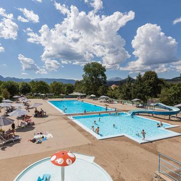
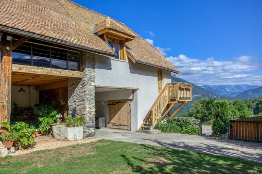
Hébergements
Informations
Lieux d'intérêts
Producteurs
Restauration
Services et Commerces
Autre
Echelle
|
durée / niveau
Rando pédestre
|
distance
6,5 km
type parcours
|
|||||||||
|
Lieu de départ
38930 Percy
|
accessibilite
|
|||||||||
|
prestations payantes
Non
|
type(s) de sol
Herbe
Rochers |
|||||||||
description
depuis le col de menée suivre la crete jusqu'au JOCOU
Hébergements à proximité

infos parcours (3)
1
Mont Barral
Informations complémentaires
kilomètre
2,25
latitude
44.7538
altitude
1899
m
longitude
5.62474
2
Col de SEYSSE
Informations complémentaires
kilomètre
4,94
latitude
44.7331
altitude
1741
m
longitude
5.63819
3
JOCOU
Informations complémentaires
kilomètre
6,55
latitude
44.7241
altitude
2045
m
longitude
5.64726
Renaud
Note moyenne
Cartes associées
