
moret sur loing et fontainbleau
- Mis à jour le 15/11/2022
- Identifiant 1925853
Sélectionner le fond de carte

PLAN IGN

PHOTOS AERIENNES

CARTES IGN MULTI-ECHELLES

TOP 25 IGN

CARTES DES PENTES

PARCELLES CADASTRALES

CARTES OACI

CARTES 1950 IGN

CARTE DE L’ETAT-MAJOR (1820-1866)

Open Street Map
Afficher les points d'intérêt à proximité
Hébergements
Informations
Lieux d'intérêts
Producteurs
Restauration
Services et Commerces
Autre
Echelle
|
durée / niveau
Rando pédestre
|
distance
13,6 km
type parcours
Aller/Retour
|
|||||||||
|
Lieu de départ
77250 Moret-Loing-et-Orvanne
|
accessibilite
|
|||||||||
|
prestations payantes
Non
|
type(s) de sol
Terre
|
|||||||||
description
promenade facile
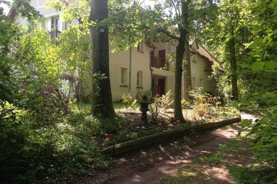
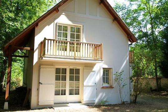
Hébergements à proximité

infos parcours (11)
1
Souterrain D606
Informations complémentaires
kilomètre
1,17
latitude
48.3736
altitude
94
m
longitude
2.78793
2
Carrefour G11 / TMF
Informations complémentaires
kilomètre
2,42
latitude
48.3698
altitude
94
m
longitude
2.77202
3
Route Lefoin x Route du Chêne Feuillu
Informations complémentaires
kilomètre
3,45
latitude
48.3792
altitude
96
m
longitude
2.77284
4
Route de Montmiron
Informations complémentaires
kilomètre
4,91
latitude
48.3819
altitude
90
m
longitude
2.75358
5
Carrefour de la Petite Haie
Informations complémentaires
kilomètre
7,93
latitude
48.396
altitude
82
m
longitude
2.75452
6
Mont Andart
Informations complémentaires
kilomètre
8,63
latitude
48.4017
altitude
122
m
longitude
2.75025
7
Route de la Butte x Chemin de Saint-Aubin
Informations complémentaires
kilomètre
9,38
latitude
48.407
altitude
97
m
longitude
2.74394
8
Croisement en surplomb de la
Informations complémentaires
kilomètre
10,07
latitude
48.4117
altitude
65
m
longitude
2.74997
9
Bifurcation
Informations complémentaires
kilomètre
11,31
latitude
48.4218
altitude
62
m
longitude
2.74412
10
Traversée de la D138
Informations complémentaires
kilomètre
12,04
latitude
48.4162
altitude
75
m
longitude
2.73947
11
Rond-Point
Informations complémentaires
kilomètre
12,81
latitude
48.4146
altitude
53
m
longitude
2.73177
Ahmed
Note moyenne
Cartes associées

Vous aimerez aussi
21.2 km
| par Les marcheurs bucoliques |