
Découverte de la piste Samazan - Casteljaloux
- Thématique Découverte
- Mis à jour le 17/01/2023
- Identifiant 1966690
Sélectionner le fond de carte

PLAN IGN

PHOTOS AERIENNES

CARTES IGN MULTI-ECHELLES

TOP 25 IGN

CARTES DES PENTES

PARCELLES CADASTRALES

CARTES OACI

CARTES 1950 IGN

CARTE DE L’ETAT-MAJOR (1820-1866)

Open Street Map
Afficher les points d'intérêt à proximité
Hébergements
Informations
Lieux d'intérêts
Producteurs
Restauration
Services et Commerces
Autre
Echelle
|
durée / niveau
Cyclo tourisme
|
distance
107,8 km
type parcours
Boucle
|
|||||||||
|
Lieu de départ
33210 Toulenne
|
accessibilite
|
|||||||||
|
prestations payantes
Non
|
type(s) de sol
Bitume
|
|||||||||
Photos & vidéos (2)
|
description
14 kilomètres en site propre depuis la route qui conduit à Samazan (47) à Casteljaloux (47). Bientôt nous ajouterons un tronçon au départ de Montpouillan (47). Plus tard au printemps 2023, je vous présenterais l'intégralité de cette piste cyclable qui ira de Marmande (47) à Casteljaloux.
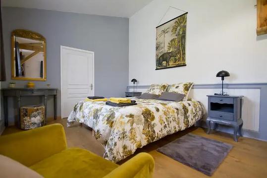
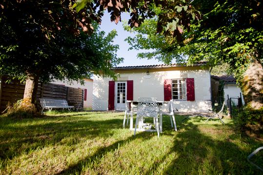
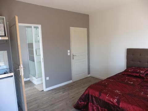
Hébergements à proximité

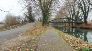
Piste cyclable en site propre
Une piste cyclable bitumé sur toute sa longueur.
infos parcours (1)
1
33210 Toulenne
"Le vélo convivial" Toulenne 33210
Dans l'allée de la cheneraie au n° 1A, c'est la maison à coté du mimosa.
Informations complémentaires
33210 Toulenne
kilomètre
0,01
latitude
44.5515
altitude
30
m
longitude
-0.271738

