
Tour d'Andorre
- Mis à jour le 30/04/2023
- Identifiant 2080391
Sélectionner le fond de carte

PLAN IGN

PHOTOS AERIENNES

CARTES IGN MULTI-ECHELLES

TOP 25 IGN

CARTES DES PENTES

PARCELLES CADASTRALES

CARTES OACI

CARTES 1950 IGN

CARTE DE L’ETAT-MAJOR (1820-1866)

Open Street Map
Afficher les points d'intérêt à proximité
Hébergements
Informations
Lieux d'intérêts
Producteurs
Restauration
Services et Commerces
Autre
Echelle
|
durée / niveau
Rando pédestre
|
distance
111,1 km
type parcours
|
|||||||||
|
Lieu de départ
Hors France
|
accessibilite
|
|||||||||
|
prestations payantes
Non
|
type(s) de sol
|
|||||||||
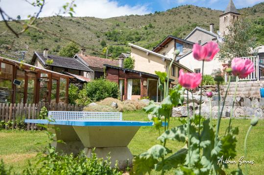
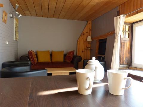
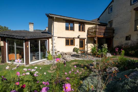
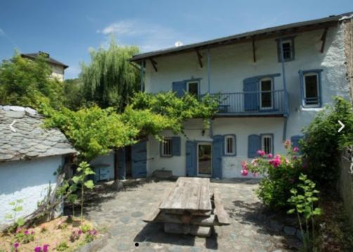
Hébergements à proximité

infos parcours (7)
1
GRP - Etapa 01: Aixovall - Refugio de Claror
Informations complémentaires
kilomètre
5,81
latitude
42.4762
altitude
0
m
longitude
1.48852
2
GRP - Etapa 02: Refugio de Claror - Refugio de l´Illa
Informations complémentaires
kilomètre
7,27
latitude
42.4702
altitude
2277
m
longitude
1.56393
3
GRP - Etapa 03: Refugio de l'Illa - Bordes d'Envalira
Informations complémentaires
kilomètre
17,93
latitude
42.4951
altitude
0
m
longitude
1.65623
4
GRP - Etapa 04: Bordes d'Envalira - Refugio de Juclà
Informations complémentaires
kilomètre
28,44
latitude
42.5583
altitude
2001
m
longitude
1.68742
5
GRP - Etapa 05: Refugio de Juclà - Borda de Sorteny
Informations complémentaires
kilomètre
36,45
latitude
42.6073
altitude
2303
m
longitude
1.71574
6
GRP - Etapa 06: Refugio Borda de Sorteny - Refugio de Comapedrosa
Informations complémentaires
kilomètre
52,47
latitude
42.6227
altitude
1973
m
longitude
1.56401
7
GRP - Etapa 07: Refugio de Comapedrosa - Aixovall
Informations complémentaires
kilomètre
72,11
latitude
42.579
altitude
2247
m
longitude
1.44931
william
Note moyenne
Cartes associées
