
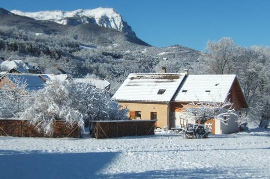
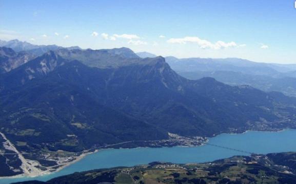
Embrun - Abbaye de Boscodon
- Thématique Culturel
- Mis à jour le 03/05/2023
- Identifiant 2083835
Sélectionner le fond de carte

PLAN IGN

PHOTOS AERIENNES

CARTES IGN MULTI-ECHELLES

TOP 25 IGN

CARTES DES PENTES

PARCELLES CADASTRALES

CARTES OACI

CARTES 1950 IGN

CARTE DE L’ETAT-MAJOR (1820-1866)

Open Street Map
Afficher les points d'intérêt à proximité
Hébergements
Informations
Lieux d'intérêts
Producteurs
Restauration
Services et Commerces
Autre
Echelle
|
durée / niveau
VTT
|
distance
27,8 km
type parcours
Boucle
|
|||||||||
|
Lieu de départ
Embrun
|
accessibilite
|
|||||||||
|
prestations payantes
Non
|
type(s) de sol
|
|||||||||
Hébergements à proximité


infos parcours (4)
1
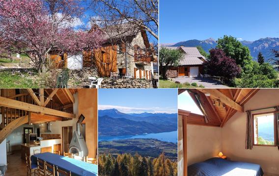
CHATEAU DE PICOMTAL
Le Château de Picomtal et son jardin à la française au coeur des Hautes Alpes.
Informations complémentaires
kilomètre
4,81
latitude
44.5318
altitude
833
m
longitude
6.47262
2
RUISSEAU
POSSIBILITÉ DE LE TRAVERSER A PIEDS
Informations complémentaires
kilomètre
11,48
latitude
44.5186
altitude
1255
m
longitude
6.48166
3
CHEMIN CARROSSABLE
Informations complémentaires
kilomètre
14,07
latitude
44.503
altitude
1306
m
longitude
6.46569
4
PENTE RAIDE
PARTIE A FAIRE A PIEDS
Informations complémentaires
kilomètre
15,04
latitude
44.4961
altitude
1310
m
longitude
6.46429
Daniel
Note moyenne
Cartes associées
