
Langogne - Cheylard
- Thématique Balade
- Mis à jour le 07/05/2023
- Identifiant 2087503
Sélectionner le fond de carte

PLAN IGN

PHOTOS AERIENNES

CARTES IGN MULTI-ECHELLES

TOP 25 IGN

CARTES DES PENTES

PARCELLES CADASTRALES

CARTES OACI

CARTES 1950 IGN

CARTE DE L’ETAT-MAJOR (1820-1866)

Open Street Map
Afficher les points d'intérêt à proximité
Hébergements
Informations
Lieux d'intérêts
Producteurs
Restauration
Services et Commerces
Autre
Echelle
|
durée / niveau
Rando pédestre
|
distance
16,0 km
type parcours
Aller Simple
|
|||||||||
|
Lieu de départ
48300 Langogne
|
accessibilite
|
|||||||||
|
prestations payantes
Non
|
type(s) de sol
|
|||||||||
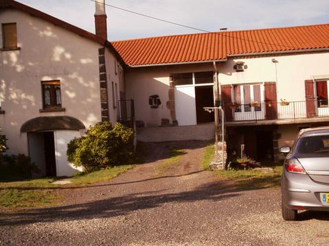
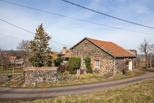
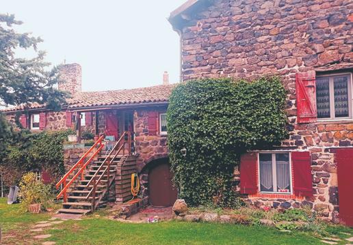
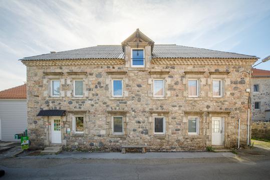
Hébergements à proximité

infos parcours (10)
1
A droite après le pont du
Informations complémentaires
kilomètre
0,17
latitude
44.7253
altitude
909
m
longitude
3.85653
2
Carrefour avant Brugeyrolles
Informations complémentaires
kilomètre
2,28
latitude
44.7069
altitude
977
m
longitude
3.85694
3
En face direction le Monteil
Informations complémentaires
kilomètre
4,24
latitude
44.6988
altitude
1021
m
longitude
3.84751
4
Village de St-Flour-de-Mercoire
Informations complémentaires
kilomètre
6,53
latitude
44.6958
altitude
1050
m
longitude
3.8257
5
Hameau de L'Herm
Informations complémentaires
kilomètre
7,91
latitude
44.6854
altitude
1057
m
longitude
3.82628
6
À gauche
Informations complémentaires
kilomètre
8,70
latitude
44.6821
altitude
1133
m
longitude
3.81866
7
Hameau de Sagne-Rousse
Informations complémentaires
kilomètre
10,05
latitude
44.6777
altitude
1155
m
longitude
3.80495
8
À gauche après Fouzillic
Informations complémentaires
kilomètre
13,05
latitude
44.6594
altitude
1222
m
longitude
3.77924
9
carrefour dans le bois
Informations complémentaires
kilomètre
14,52
latitude
44.655
altitude
1196
m
longitude
3.79549
10
Eglise de Cheylard-l'Evêque
Informations complémentaires
kilomètre
16,01
latitude
44.6477
altitude
1118
m
longitude
3.80324
Claude
Note moyenne
Cartes associées
