Boucle de l'Occabé et les cromlechs par le Chalet Pedro
- Mis à jour le 14/05/2023
- Identifiant 2095598
Sélectionner le fond de carte

PLAN IGN

PHOTOS AERIENNES

CARTES IGN MULTI-ECHELLES

TOP 25 IGN

CARTES DES PENTES

PARCELLES CADASTRALES

CARTES OACI

CARTES 1950 IGN

CARTE DE L’ETAT-MAJOR (1820-1866)

Open Street Map
Afficher les points d'intérêt à proximité
Hébergements
Informations
Lieux d'intérêts
Producteurs
Restauration
Services et Commerces
Autre
Echelle
|
durée / niveau
Rando pédestre
|
distance
10,2 km
type parcours
Boucle
|
|||||||||
|
Lieu de départ
64220 Lecumberry
|
accessibilite
|
|||||||||
|
prestations payantes
Non
|
type(s) de sol
Terre
Herbe Rochers |
|||||||||
description
L'occabé : point culminant du plateau d'Iraty. Vue à 360° et site mégalithique le plus important du pays Basque. Montée et descente dans une très belle forêt de hêtres.
Hébergements à proximité
DEPART
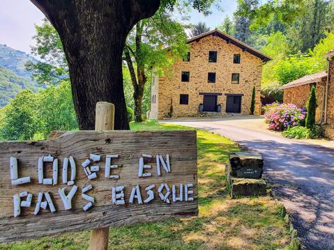
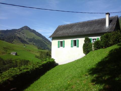
Depuis St Jean Pied de Port, se rendre Parking du refuge Aterbea (chalet Pedro) sur la droite après la D 301
infos parcours (9)
1
Parking du Refuge Aterbea
Informations complémentaires
kilomètre
0,01
latitude
43.0413
altitude
1008
m
longitude
-1.07472
2
Bifurcation Ouest sur GR 10
Informations complémentaires
kilomètre
0,62
latitude
43.0362
altitude
993
m
longitude
-1.07562
3
Bifurcation Sud vers l'Occabé
Informations complémentaires
kilomètre
3,86
latitude
43.0355
altitude
1425
m
longitude
-1.10527
4
Sommet de l'Occabé
Informations complémentaires
kilomètre
4,27
latitude
43.0322
altitude
1455
m
longitude
-1.10707
5
Cromlechs du plateau de l'Occabé
Informations complémentaires
kilomètre
5,73
latitude
43.0424
altitude
1378
m
longitude
-1.11035
6
Bifurcation Est
Informations complémentaires
kilomètre
6,00
latitude
43.04
altitude
1383
m
longitude
-1.10943
7
D301
Informations complémentaires
kilomètre
7,57
latitude
43.0483
altitude
1144
m
longitude
-1.09895
8
Bifurcation Est
Informations complémentaires
kilomètre
8,03
latitude
43.0482
altitude
1117
m
longitude
-1.09507
9
Parking du Refuge Aterbea
Informations complémentaires
kilomètre
20,47
latitude
43.0413
altitude
1008
m
longitude
-1.07467
Note moyenne
Vous aimerez aussi
6 - TRANSPYRENEA 8 : CHALET D'IRATY --> SAINT-ETIENNE DE BAIGORRY
Itinérance, road-trip
52.4 km
| par HERVE |


