
Le chemin du Mont-Saint-Michel - Etape Orléans à Saint-Genix-en-Guiers
- Mis à jour le 23/12/2024
- Identifiant 2098623
Sélectionner le fond de carte

PLAN IGN

PHOTOS AERIENNES

CARTES IGN MULTI-ECHELLES

TOP 25 IGN

CARTES DES PENTES

PARCELLES CADASTRALES

CARTES OACI

CARTES 1950 IGN

CARTE DE L’ETAT-MAJOR (1820-1866)

Open Street Map
Afficher les points d'intérêt à proximité
Hébergements
Informations
Lieux d'intérêts
Producteurs
Restauration
Services et Commerces
Autre
Echelle
|
durée / niveau
Rando pédestre
|
distance
559,9 km
type parcours
|
|||||||||
|
Lieu de départ
2 Rue Coligny
45000 ORLÉANS |
accessibilite
|
|||||||||
|
prestations payantes
Non
|
type(s) de sol
|
|||||||||
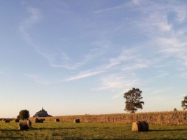
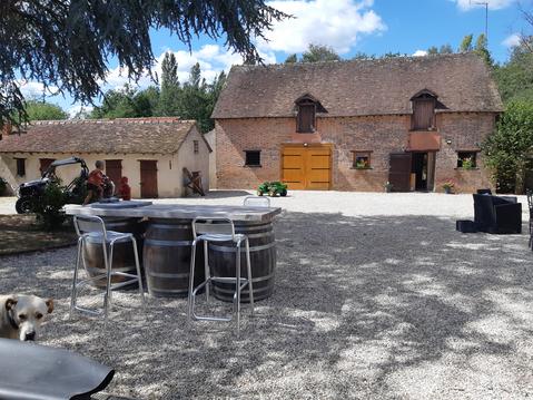
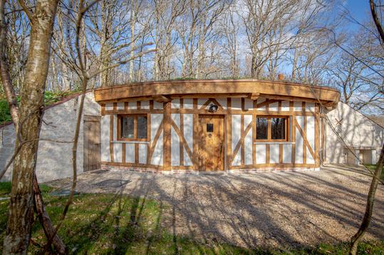
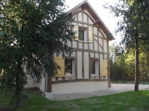
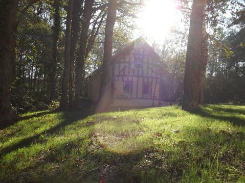
Photos & vidéos (1)
|
description
Sur les pas du premier pèlerin connu, le moine franc Bernard, qui relia le Monte Gargano au Mont-Saint-Michel vers 867-868.
Hébergements à proximité


Informations complémentaires
Retrouvez le détail des étapes et un descriptif détaillé du parcours sur :https://www.lescheminsdumontsaintmichel.com/spip/spip.php?article59&lang=fr
infos parcours (29)
1
ORLÉANS
Orléans
Informations complémentaires
ORLÉANS
kilomètre
0,61
latitude
47.903
altitude
112
m
longitude
1.90925
2
JARGEAU
Jargeau
Informations complémentaires
JARGEAU
kilomètre
21,06
latitude
47.8666
altitude
106
m
longitude
2.12226
3
Saint-Benoit-sur-Loire
Informations complémentaires
9 Avenue Célestin Chateigner
45730 SAINT-BENOÎT-SUR-LOIRE
45730 SAINT-BENOÎT-SUR-LOIRE
kilomètre
39,69
latitude
47.8102
altitude
112
m
longitude
2.3058
4
Sully-sur-Loire
Informations complémentaires
1 Chemin de la Salle Verte
45600 SULLY-SUR-LOIRE
45600 SULLY-SUR-LOIRE
kilomètre
48,38
latitude
47.7685
altitude
118
m
longitude
2.37543
5
Gien
Informations complémentaires
44 Avenue des Montoires
45500 GIEN
45500 GIEN
kilomètre
74,50
latitude
47.7027
altitude
160
m
longitude
2.6279
6
BRIARE
Briare
Informations complémentaires
BRIARE
kilomètre
84,19
latitude
47.64
altitude
130
m
longitude
2.74062
7
BELLEVILLE-SUR-LOIRE
Belleville-sur-Loire
Informations complémentaires
BELLEVILLE-SUR-LOIRE
kilomètre
102,88
latitude
47.5072
altitude
143
m
longitude
2.84996
8
SAINT-SATUR
Saint-Satur
Informations complémentaires
SAINT-SATUR
kilomètre
127,02
latitude
47.3401
altitude
165
m
longitude
2.85246
9
LA CHARITÉ-SUR-LOIRE
La Charité-sur-Loire
Informations complémentaires
LA CHARITÉ-SUR-LOIRE
kilomètre
152,01
latitude
47.1771
altitude
173
m
longitude
3.01801
10
NEVERS
Nevers
Informations complémentaires
NEVERS
kilomètre
181,23
latitude
46.9909
altitude
185
m
longitude
3.16284
11
CHEVENON
Chevenon
Informations complémentaires
CHEVENON
kilomètre
192,66
latitude
46.9202
altitude
201
m
longitude
3.22842
12
DECIZE
Decize
Informations complémentaires
DECIZE
kilomètre
219,27
latitude
46.8286
altitude
201
m
longitude
3.46132
13
CHARRIN
Charrin
Informations complémentaires
CHARRIN
kilomètre
235,48
latitude
46.7897
altitude
199
m
longitude
3.59921
14
CRONAT
Cronat
Informations complémentaires
CRONAT
kilomètre
249,57
latitude
46.7214
altitude
233
m
longitude
3.68589
15
BOURBON-LANCY
Bourbon-Lancy
Informations complémentaires
BOURBON-LANCY
kilomètre
265,95
latitude
46.6192
altitude
281
m
longitude
3.7739
16
PIERREFITE-SUR-LOIRE
Pierrefite-sur-Loire
Informations complémentaires
PIERREFITE-SUR-LOIRE
kilomètre
286,37
latitude
46.5061
altitude
224
m
longitude
3.81697
17
PARAY-LE-MONIAL
Paray-le-Monial
Informations complémentaires
PARAY-LE-MONIAL
kilomètre
313,74
latitude
46.4522
altitude
245
m
longitude
4.12067
18
MARCIGNY
Marcigny
Informations complémentaires
MARCIGNY
kilomètre
340,14
latitude
46.2743
altitude
261
m
longitude
4.04192
19
CHARLIEU
Charlieu
Informations complémentaires
CHARLIEU
kilomètre
360,47
latitude
46.1596
altitude
274
m
longitude
4.17252
20
COURS-LA-VILLE
Cours-la-ville
Informations complémentaires
COURS-LA-VILLE
kilomètre
379,67
latitude
46.1012
altitude
548
m
longitude
4.31994
21
AMPLEPUIS
Amplepuis
Informations complémentaires
AMPLEPUIS
kilomètre
399,90
latitude
45.9727
altitude
441
m
longitude
4.33308
22
TARARE
Tarare
Informations complémentaires
TARARE
kilomètre
417,07
latitude
45.8968
altitude
388
m
longitude
4.43342
23
L'ARBRESLE
L'Arbresle
Informations complémentaires
L'ARBRESLE
kilomètre
436,78
latitude
45.835
altitude
238
m
longitude
4.61493
24
CHARBONNIÈRES
Charbonnières
Informations complémentaires
CHARBONNIÈRES
kilomètre
451,35
latitude
45.7844
altitude
231
m
longitude
4.7355
25
LYON
Lyon
Informations complémentaires
LYON
kilomètre
462,78
latitude
45.764
altitude
168
m
longitude
4.83566
26
JONAGE
Jonage
Informations complémentaires
JONAGE
kilomètre
485,82
latitude
45.7961
altitude
208
m
longitude
5.05038
27
CRÉMIEU
Crémieu
Informations complémentaires
CRÉMIEU
kilomètre
513,36
latitude
45.7245
altitude
217
m
longitude
5.25043
28
MORESTEL
Morestel
Informations complémentaires
MORESTEL
kilomètre
535,57
latitude
45.678
altitude
224
m
longitude
5.46932
29
ST-GENIX-SUR-GUIERS
St-Genix-sur-Guiers
Informations complémentaires
ST-GENIX-SUR-GUIERS
kilomètre
556,74
latitude
45.5985
altitude
228
m
longitude
5.63285


