
Le chemin du Mont-Saint-Michel - Etape du Mont-St-Michel à Orléans
- Mis à jour le 23/12/2024
- Identifiant 2098633
Sélectionner le fond de carte

PLAN IGN

PHOTOS AERIENNES

CARTES IGN MULTI-ECHELLES

TOP 25 IGN

CARTES DES PENTES

PARCELLES CADASTRALES

CARTES OACI

CARTES 1950 IGN

CARTE DE L’ETAT-MAJOR (1820-1866)

Open Street Map
Afficher les points d'intérêt à proximité
Hébergements
Informations
Lieux d'intérêts
Producteurs
Restauration
Services et Commerces
Autre
Echelle
|
durée / niveau
Rando pédestre
|
distance
450,1 km
type parcours
|
|||||||||
|
Lieu de départ
3 Place Sainte-Croix
45000 ORLÉANS |
accessibilite
|
|||||||||
|
prestations payantes
Non
|
type(s) de sol
|
|||||||||
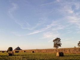
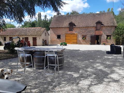
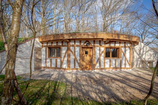
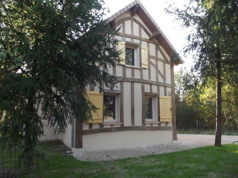
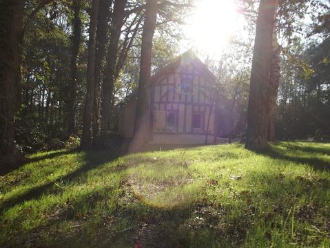
Photos & vidéos (1)
|
description
Ce chemin relie des chefs d’oeuvre de l’architecture médiévale inscrits au patrimoine mondial de l’UNESCO.
Hébergements à proximité


Informations complémentaires
Retrouvez le détail des étapes et un descriptif détaillé du parcours sur :https://www.lescheminsdumontsaintmichel.com/spip/spip.php?article59&lang=fr
infos parcours (19)
1
Orléans
Informations complémentaires
3 Place Sainte-Croix
45000 ORLÉANS
45000 ORLÉANS
kilomètre
0,00
latitude
47.9018
altitude
111
m
longitude
1.90902
2
Sougy
Informations complémentaires
282 Grande Rue
45410 SOUGY
45410 SOUGY
kilomètre
20,74
latitude
48.0536
altitude
131
m
longitude
1.79046
3
Voves
Informations complémentaires
12 Rue Roger Gommier
28150 LES VILLAGES-VOVÉENS
28150 LES VILLAGES-VOVÉENS
kilomètre
51,10
latitude
48.2719
altitude
144
m
longitude
1.62753
4
Chartres
Informations complémentaires
24 Cloître Notre Dame
28000 CHARTRES
28000 CHARTRES
kilomètre
80,64
latitude
48.4482
altitude
154
m
longitude
1.48898
5
Illiers
Informations complémentaires
1 Rue du Docteur Galopin
28120 ILLIERS-COMBRAY
28120 ILLIERS-COMBRAY
kilomètre
120,85
latitude
48.3
altitude
157
m
longitude
1.24327
6
Thiron
Informations complémentaires
292 Rue de l'Abbaye
28480 THIRON-GARDAIS
28480 THIRON-GARDAIS
kilomètre
149,29
latitude
48.3137
altitude
237
m
longitude
0.991428
7
Saint-Hilaire
Informations complémentaires
4 Place de la Vieille Garde
61340 SAINT-HILAIRE-SUR-ERRE
61340 SAINT-HILAIRE-SUR-ERRE
kilomètre
177,37
latitude
48.3128
altitude
127
m
longitude
0.738893
8
Aillières
Informations complémentaires
34 Route de Perseigne
72600 AILLIÈRES-BEAUVOIR
72600 AILLIÈRES-BEAUVOIR
kilomètre
225,43
latitude
48.4054
altitude
258
m
longitude
0.324503
9
Bellême
Informations complémentaires
10 Rue ville Close
61130 BELLÊME
61130 BELLÊME
kilomètre
698,74
latitude
48.3758
altitude
226
m
longitude
0.56169
10
Alençon
Informations complémentaires
1 Place Foch
61000 ALENÇON
61000 ALENÇON
kilomètre
644,96
latitude
48.4297
altitude
136
m
longitude
0.0834
11
Saint-Nicolas
Informations complémentaires
5 Le Bourg
61250 SAINT-NICOLAS-DES-BOIS
61250 SAINT-NICOLAS-DES-BOIS
kilomètre
631,60
latitude
48.4938
altitude
232
m
longitude
0.01664
12
Carrouges
Informations complémentaires
4 Place du Général Leveneur
61320 CARROUGES
61320 CARROUGES
kilomètre
608,71
latitude
48.5671
altitude
331
m
longitude
-0.14438
13
Bagnoles
Informations complémentaires
4-10 Place de la République
61140 BAGNOLES DE L'ORNE NORMANDIE
61140 BAGNOLES DE L'ORNE NORMANDIE
kilomètre
578,94
latitude
48.5572
altitude
189
m
longitude
-0.413759
14
Domfront
Informations complémentaires
5 Place de la Liberté
61700 DOMFRONT EN POIRAIE
61700 DOMFRONT EN POIRAIE
kilomètre
560,08
latitude
48.5931
altitude
215
m
longitude
-0.647517
15
Lonlay
Informations complémentaires
11 Place Saint-Sauveur
61700 LONLAY-L'ABBAYE
61700 LONLAY-L'ABBAYE
kilomètre
541,60
latitude
48.6458
altitude
142
m
longitude
-0.710582
16
Mortain
Informations complémentaires
2 Place de la Collegiale
50140 MORTAIN-BOCAGE
50140 MORTAIN-BOCAGE
kilomètre
512,81
latitude
48.6489
altitude
222
m
longitude
-0.94167
17
Isigny
Informations complémentaires
3 Chemin de la Hosseraie
50540 ISIGNY-LE-BUAT
50540 ISIGNY-LE-BUAT
kilomètre
490,62
latitude
48.6206
altitude
94
m
longitude
-1.16303
18
Bas-Courtils
Informations complémentaires
15 Route de Roche Torin
50220 COURTILS
50220 COURTILS
kilomètre
465,71
latitude
48.6346
altitude
10
m
longitude
-1.42801
19
Le-Mont
Informations complémentaires
kilomètre
456,15
latitude
48.6361
altitude
73
m
longitude
-1.51129

