
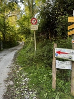
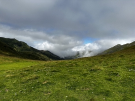
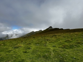
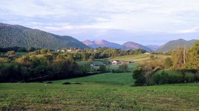
COL D'ARAN depuis le parking de La Chapelle de Houndas
- Thématique Montagne
- Mis à jour le 17/09/2023
- Identifiant 2107692
Sélectionner le fond de carte

PLAN IGN

PHOTOS AERIENNES

CARTES IGN MULTI-ECHELLES

TOP 25 IGN

CARTES DES PENTES

PARCELLES CADASTRALES

CARTES OACI

CARTES 1950 IGN

CARTE DE L’ETAT-MAJOR (1820-1866)

Open Street Map
Afficher les points d'intérêt à proximité
Hébergements
Informations
Lieux d'intérêts
Producteurs
Restauration
Services et Commerces
Autre
Echelle
|
durée / niveau
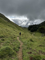
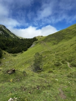
Rando pédestre
|
distance
5,0 km
type parcours
Aller/Retour
|
|||||||||
|
Lieu de départ
64260 Bilhères
|
accessibilite
|
|||||||||
|
prestations payantes
Non
|
type(s) de sol
Terre
Herbe Rochers |
|||||||||
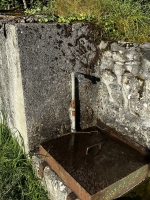
Photos & vidéos (6)
|
|
|
|
|
|
description
Parcours agréable avec quelques passages raides en forêt et en sentier.
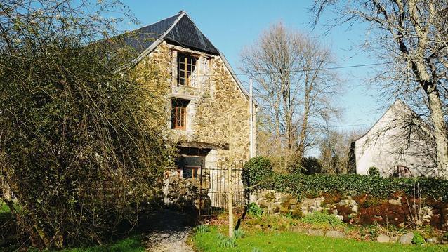
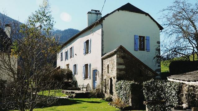
Hébergements à proximité


Randonnée 3 saisons.
Randonnée faite au printemps, pas de danger par bonne visibilité.
Nicolas
Note moyenne
Cartes associées
