
POINTE D'IREUSE
- Thématique Randonnée
- Mis à jour le 12/06/2023
- Identifiant 2127450
Sélectionner le fond de carte

PLAN IGN

PHOTOS AERIENNES

CARTES IGN MULTI-ECHELLES

TOP 25 IGN

CARTES DES PENTES

PARCELLES CADASTRALES

CARTES OACI

CARTES 1950 IGN

CARTE DE L’ETAT-MAJOR (1820-1866)

Open Street Map
Afficher les points d'intérêt à proximité
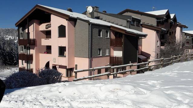
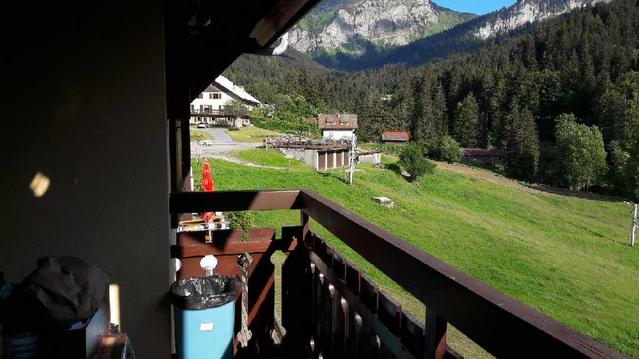
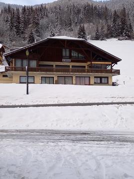
Hébergements
Informations
Lieux d'intérêts
Producteurs
Restauration
Services et Commerces
Autre
Echelle
|
durée / niveau
Rando pédestre
|
distance
11,1 km
type parcours
Boucle
|
|||||||||
|
Lieu de départ
74470 Bellevaux
|
accessibilite
|
|||||||||
|
prestations payantes
Non
|
type(s) de sol
Graviers
Terre Rochers |
|||||||||
Hébergements à proximité

infos parcours (7)
1
74470 Bellevaux
NIFFLON EN BAS
Informations complémentaires
74470 Bellevaux
kilomètre
2,56
latitude
46.2589
altitude
1606
m
longitude
6.55648
2
74470 Bellevaux
NIFFLON EN HAUT
Informations complémentaires
74470 Bellevaux
kilomètre
4,10
latitude
46.2601
altitude
1768
m
longitude
6.57206
3
74470 Bellevaux
POINTE D'IREUSE
Informations complémentaires
74470 Bellevaux
kilomètre
5,13
latitude
46.2674
altitude
1884
m
longitude
6.57506
4
74470 Bellevaux
CHAPELLE
Informations complémentaires
74470 Bellevaux
kilomètre
6,29
latitude
46.2589
altitude
1742
m
longitude
6.57255
5
74470 Bellevaux
COL SEYTROUSET
Informations complémentaires
74470 Bellevaux
kilomètre
7,14
latitude
46.2539
altitude
1561
m
longitude
6.57585
6
74430 Seytroux
COL DE LA BALME
Informations complémentaires
74430 Seytroux
kilomètre
8,01
latitude
46.2466
altitude
1444
m
longitude
6.57478
7
74470 Bellevaux
HAMEAU LES NANTS
Informations complémentaires
74470 Bellevaux
kilomètre
8,91
latitude
46.248
altitude
1282
m
longitude
6.56562
DANIEL
Note moyenne
Cartes associées
