
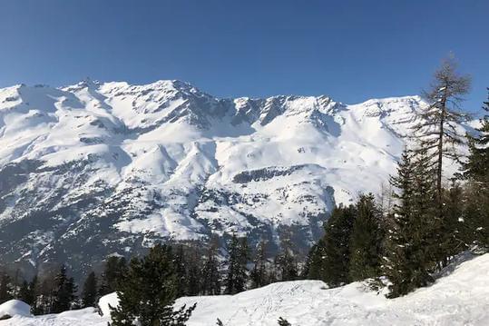
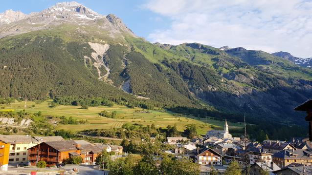
Vallée du Ribon
- Mis à jour le 13/06/2023
- Identifiant 2128795


|
durée / niveau
Rando pédestre
|
distance
22,3 km
type parcours
|
|||||||||
|
Lieu de départ
73480 Bessans
|
accessibilite
|
|||||||||
|
prestations payantes
Non
|
type(s) de sol
|
|||||||||
Hébergements à proximité
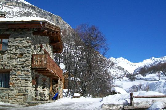
Chalet les Moulins
Appartement "MARMOTTE"

APPARTEMENT GRAND CERF
APPARTEMENT FRONT DE NEIGE
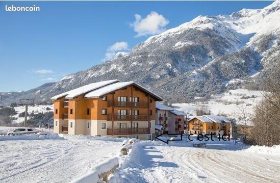
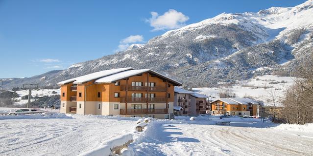
Charmant appart. pieds des pistes Résidence 2006
Au coeur du Parc National de la Vanoise, Appart.
Vaste appartement avec 2 terrasses, au pied des pi
studio tout confort à Tignes du 04 /08 au 11/08

infos parcours (18)
Bifurcation Nord
Parking de la poste ou de la mairie
Rue principale
Oratoire St-Antoine
Sentier de l'oratoire Ste-Anne
La Tête
Hameau de l'Arcelle
Sentier à droite après Jaffa
Arrivée sur la piste rive droite
Parking de la poste ou de la mairie
Carrefour avec le sentier de la Pierre des Saints
Carrefour avec le sentier Garlut
Carrefour avec sentier du Petit Bonheur
Franchir le
Sentier vers le pont du Ribon
Carrefour de la boucle
Début du sentier
Vers la Croix du Coq
bernadette
Cartes associées
