
Randonnée Beaufortain MTC itinéraire B
- Mis à jour le 23/06/2023
- Identifiant 2139496


|
durée / niveau
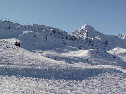
Rando pédestre
|
distance
20,5 km
type parcours
Boucle
|
|||||||||
|
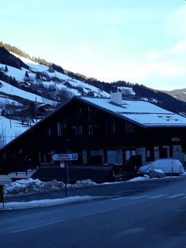
Lieu de départ
73270 Beaufort
|
accessibilite
|
|||||||||
|
prestations payantes
Non
|
type(s) de sol
Bitume
Graviers Sable Herbe |
|||||||||
|
Mots clés
Presset, Beaufort
|
||||||||||
description
Hébergements à proximité
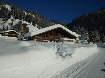
Chalet d'alpage les Tornettes
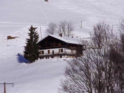
chalet typique en beaufortain 2,5km des pistes
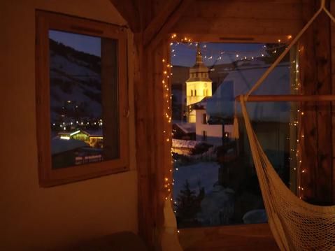
Arêches Cœur ,Ancien Authentique
Arêches Pierra Menta village
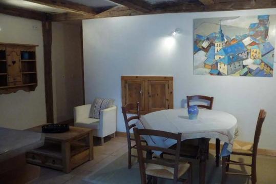
Appartement pied des pistes
Magnifique chalet au coeur du Beaufortain pour 12p
MAGNIFIQUE APPARTEMENT POUR 4 PERSONNES A BOURG
Loue studio dans chalets

infos parcours (3)
Départ
73270 Beaufort
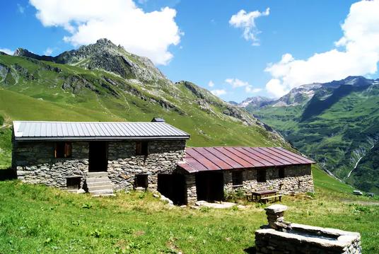
Bivouac samedi soir
73700 Les Chapelles
Arrivée
73270 Beaufort
Guillaume
Cartes associées

Vous aimerez aussi
Lac d’Amour (2248m), en boucle par le Plan de la Lai, le col Tutu et le col du Grand Fond - Jour 2
Itinérance, road-trip| par Olivier |