
Les Contamines Mont Joux Praz sur Arly
- Thématique Randonnée
- Mis à jour le 27/07/2023
- Identifiant 2179765


|
durée / niveau
VTT
|
distance
30,4 km
type parcours
Aller Simple
|
|||||||||
|
Lieu de départ
74170 Les Contamines-Montjoie
|
accessibilite
|
|||||||||
|
prestations payantes
Non
|
type(s) de sol
Terre
|
|||||||||
description
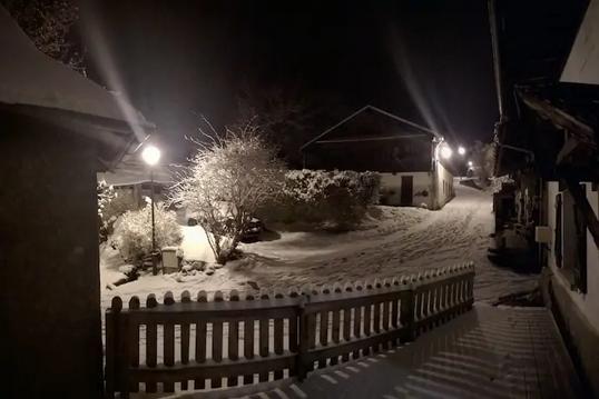
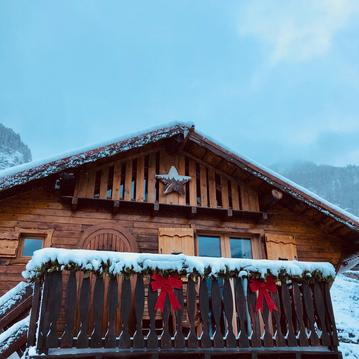
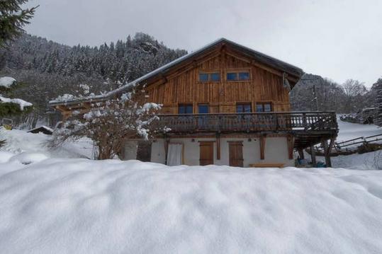
Hébergements à proximité
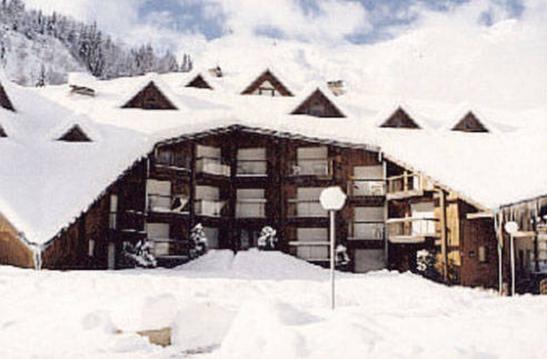
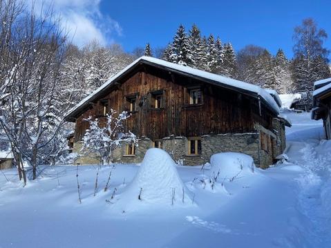
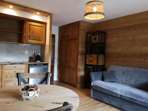
Appartement tout confort - 4 pers - 29 m²
appartement indépendant dans maison
Chalet insolite & Spa - Le refuge de Marguerite
Appartement dans chalet avec terrasse ensoleillée
chalet face au Mont Blanc
Chalet typique des alpes au pied du Mont Blanc
Appart proche des pistes de Ski au cœur Mt Blanc
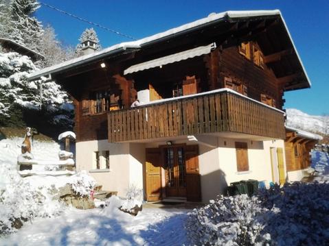
Chalet idéal Mont Blanc - FAMILLES, GROUPES D'AMIS

infos parcours (52)
Prenez à gauche
Prenez à droite
Prenez à droite
Prenez à droite
Prenez à droite
Prenez à droite
Prenez à droite
Prenez à droite
Prenez à droite
Prenez à droite
Prenez à droite
Prenez à gauche
Prenez à gauche
Prenez à droite
Prenez à gauche
Prenez à gauche
Prenez à gauche
Prenez à gauche
Prenez à gauche
Prenez à gauche après le pont
Prenez à gauche et traversez le pont
Prenez à gauche puis tout de suite à droite
Prenez à gauche puis tout de suite à droite sur le pont
Prenez la première piste qui monte à droite
Prenez la route à gauche
Traversez la place en diagonale vers la gauche puis continuez toujours tout droit en passant sur le petit pont
Continuez tout droit
Arrivée au magasin Derby Sports
Continuez à droite
Continuez à droite
Continuez à droite
Continuez à gauche
Continuez à gauche
Continuez à gauche
Continuez à gauche et restez toujours sur la route
Continuez à gauche puis prendre tout de suite à gauche
Continuez toujours tout droit sur la piste qui suit la crête
Continuez tout droit
Continuez tout droit
A la sortie du pont, prenez légèrement à droite la piste qui monte vers l'Ouest
Continuez tout droit
Continuez tout droit
Continuez tout droit
Continuez tout droit
Continuez tout droit
Continuez tout droit
Continuez tout droit puis prendre le petit chemin pavé à droite puis suivre la large rue pavée à gauche
Continuez tout droit sur le sentier, sans difficulté technique
Continuez tout droit, traversez la route et continuez le long de la rivière
Départ de l'hôtel Chemenaz
Passage au sommet de la Croix du Christ. Continuez tout droit sur la crête en descendant dans l'herbe pour rejoindre la piste en contrebas et remonter au Mont Joux.
Prenez à droite
CHRISTIAN
Cartes associées
