Boucle au col d'Ibardin
- Mis à jour le 06/10/2023
- Identifiant 2243773
Sélectionner le fond de carte

PLAN IGN

PHOTOS AERIENNES

CARTES IGN MULTI-ECHELLES

TOP 25 IGN

CARTES DES PENTES

PARCELLES CADASTRALES

CARTES OACI

CARTES 1950 IGN

CARTE DE L’ETAT-MAJOR (1820-1866)

Open Street Map
Afficher les points d'intérêt à proximité
Hébergements
Informations
Lieux d'intérêts
Producteurs
Restauration
Services et Commerces
Autre
Echelle
|
durée / niveau
Rando pédestre
|
distance
10,3 km
type parcours
Boucle
|
|||||||||
|
Lieu de départ
64122 Urrugne
|
accessibilite
|
|||||||||
|
prestations payantes
Non
|
type(s) de sol
Bitume
Graviers Terre Herbe |
|||||||||
Photos & vidéos (1)
|
description
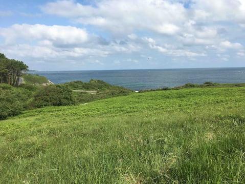
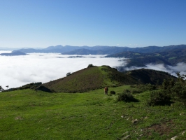
parcours agrémenté de superbes vues sur l'océan et les montagnes environnantes
Hébergements à proximité
infos parcours (12)
1
Parking au col d'Ibardin
Informations complémentaires
kilomètre
0,00
latitude
43.3114
altitude
363
m
longitude
-1.68999
2
Barrière
Informations complémentaires
kilomètre
0,30
latitude
43.3125
altitude
402
m
longitude
-1.69331
3
Cairn
Informations complémentaires
kilomètre
1,69
latitude
43.3102
altitude
501
m
longitude
-1.70708
4
Col sans nom
Informations complémentaires
kilomètre
2,15
latitude
43.311
altitude
411
m
longitude
-1.71238
5
Col de Pitare
Informations complémentaires
kilomètre
2,91
latitude
43.3169
altitude
318
m
longitude
-1.7164
6
Xoldoko Gaina
Informations complémentaires
kilomètre
4,24
latitude
43.3255
altitude
486
m
longitude
-1.72154
7
Route
Informations complémentaires
kilomètre
6,01
latitude
43.335
altitude
227
m
longitude
-1.71007
8
Sentier
Informations complémentaires
kilomètre
6,23
latitude
43.334
altitude
245
m
longitude
-1.70818
9
Piste
Informations complémentaires
kilomètre
7,77
latitude
43.3233
altitude
266
m
longitude
-1.706
10
À gauche
Informations complémentaires
kilomètre
8,35
latitude
43.3209
altitude
297
m
longitude
-1.70019
11
Pente herbeuse à droite
Informations complémentaires
kilomètre
10,15
latitude
43.3124
altitude
332
m
longitude
-1.68868
12
Parking au col d'Ibardin
Informations complémentaires
kilomètre
20,67
latitude
43.3113
altitude
361
m
longitude
-1.68979


