
2024-larina
- Thématique Randonnée
- Mis à jour le 08/11/2023
- Identifiant 2256268
Sélectionner le fond de carte

PLAN IGN

PHOTOS AERIENNES

CARTES IGN MULTI-ECHELLES

TOP 25 IGN

CARTES DES PENTES

PARCELLES CADASTRALES

CARTES OACI

CARTES 1950 IGN

CARTE DE L’ETAT-MAJOR (1820-1866)

Open Street Map
Afficher les points d'intérêt à proximité
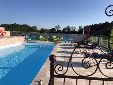
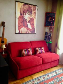
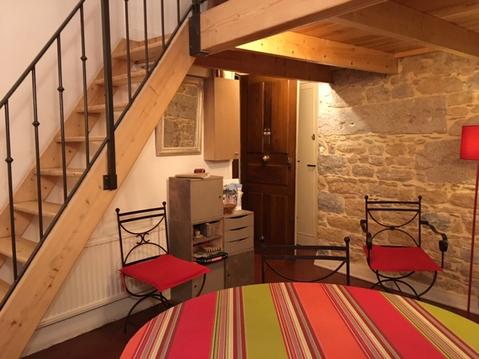
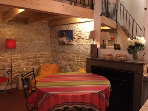
Hébergements
Informations
Lieux d'intérêts
Producteurs
Restauration
Services et Commerces
Autre
Echelle
|
durée / niveau
Rando pédestre
|
distance
14,5 km
type parcours
Boucle
|
|||||||||
|
Lieu de départ
38460 Vernas
|
accessibilite
|
|||||||||
|
prestations payantes
Non
|
type(s) de sol
Graviers
Herbe Rochers |
|||||||||
description
Surplombe les grottes de la balme
Hébergements à proximité

infos parcours (14)
1
Chapelle Saint-Vincent
Informations complémentaires
kilomètre
0,00
latitude
45.7812
altitude
254
m
longitude
5.284
2
Chapelle Saint-Vincent
Informations complémentaires
kilomètre
0,00
latitude
45.7812
altitude
254
m
longitude
5.28403
3
Sentier à gauche vers falaise
Informations complémentaires
kilomètre
1,89
latitude
45.7897
altitude
393
m
longitude
5.29684
4
Direction Fontaine de la Vie
Informations complémentaires
kilomètre
2,87
latitude
45.7926
altitude
386
m
longitude
5.30139
5
Fontaine de la Vie
Informations complémentaires
kilomètre
3,36
latitude
45.7901
altitude
376
m
longitude
5.30353
6
Route de Larina à Châtelans
Informations complémentaires
kilomètre
4,88
latitude
45.7786
altitude
360
m
longitude
5.30667
7
À droite, direction Mollard Subin/carrières
Informations complémentaires
kilomètre
6,32
latitude
45.7734
altitude
403
m
longitude
5.29735
8
À gauche, direction Mollard des Barres
Informations complémentaires
kilomètre
7,46
latitude
45.7712
altitude
356
m
longitude
5.28522
9
À gauche, direction Châtelans
Informations complémentaires
kilomètre
8,30
latitude
45.7679
altitude
341
m
longitude
5.27839
10
À droite, direction Leyrieu / chapelle
Informations complémentaires
kilomètre
9,19
latitude
45.7608
altitude
396
m
longitude
5.27669
11
À gauche, direction de la chapelle
Informations complémentaires
kilomètre
10,09
latitude
45.7578
altitude
392
m
longitude
5.26955
12
La Combe, à droite
Informations complémentaires
kilomètre
11,07
latitude
45.7566
altitude
280
m
longitude
5.26524
13
Pré Moly, à droite, direction Vernas
Informations complémentaires
kilomètre
11,96
latitude
45.7634
altitude
253
m
longitude
5.26772
14
Vivier du château et résurgence
Informations complémentaires
kilomètre
12,77
latitude
45.7684
altitude
268
m
longitude
5.27519
rene
Note moyenne
Cartes associées
