
JPG-Clisson-Hellfest
- Mis à jour le 23/12/2024
- Identifiant 2257444


|
durée / niveau
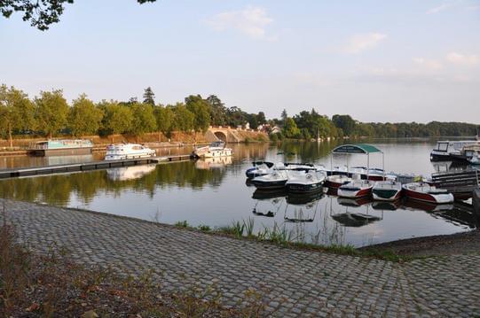
Rando pédestre
|
distance
11,7 km
type parcours
|
|||||||||
|
Lieu de départ
Clisson
|
accessibilite
|
|||||||||
|
prestations payantes
Non
|
type(s) de sol
|
|||||||||
description
Hébergements à proximité
Maison de vacances
studio 1 au calme d'un grand jardin
studio 2 au calme d'un grand jardin
Charme et confort dans le coeur historique, hyperc
Maison avec grand jardin
Chambre d'hôte chez l'habitant
Maison grand confort avec spa privatif, 30' plages
Gite La Faerie - Proche littoral - 16 pers.

infos parcours (4)
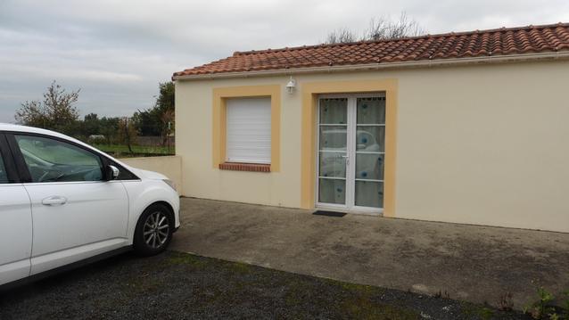
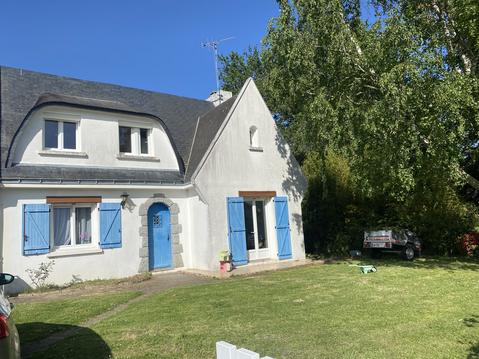
Hébergement: MEUBLÉ N°1 MR DELEMAR
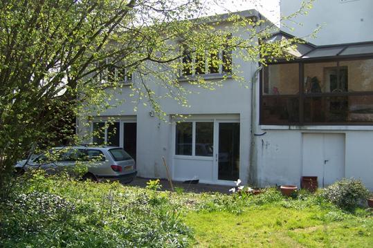
Hébergement: MEUBLÉ N°2 MR DELEMAR
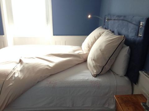
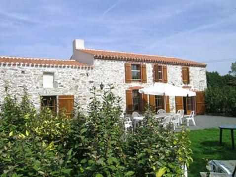
Hébergement: CHAMBRE D'HÖTES LERAY RÉMY ET GABRIELLE
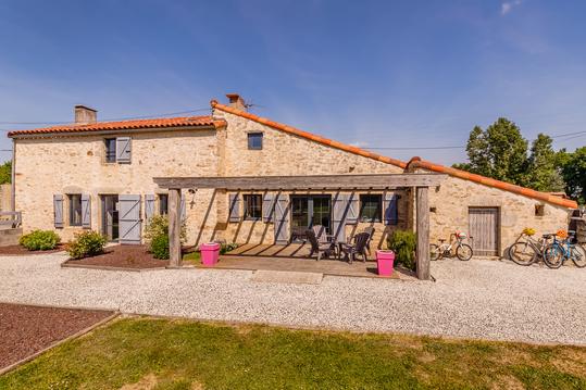
Hébergement: GÎTE HERVÉ JOSSE
Jean-Pierre
Cartes associées
