
Boucle de Saint père-Pierre Perthuis le long de la cure
- Thématique Balade
- Mis à jour le 22/10/2023
- Identifiant 2258226
Sélectionner le fond de carte

PLAN IGN

PHOTOS AERIENNES

CARTES IGN MULTI-ECHELLES

TOP 25 IGN

CARTES DES PENTES

PARCELLES CADASTRALES

CARTES OACI

CARTES 1950 IGN

CARTE DE L’ETAT-MAJOR (1820-1866)

Open Street Map
Afficher les points d'intérêt à proximité
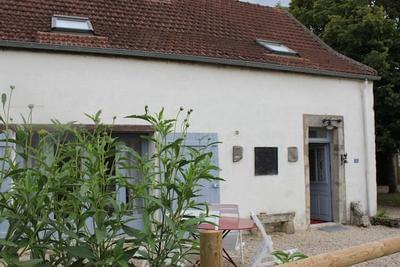
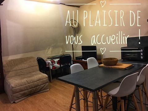
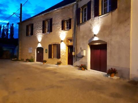
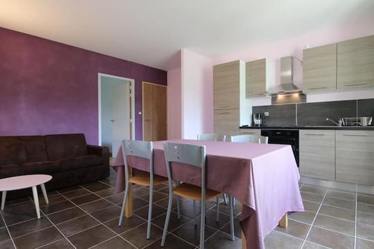
Hébergements
Informations
Lieux d'intérêts
Producteurs
Restauration
Services et Commerces
Autre
Echelle
|
durée / niveau
Marche nordique
|
distance
18,5 km
type parcours
Boucle
|
|||||||||
|
Lieu de départ
89450 Saint-Père
|
accessibilite
|
|||||||||
|
prestations payantes
Non
|
type(s) de sol
Bitume
Graviers Terre Herbe |
|||||||||
|
Mots clés
Campagne
|
||||||||||
description
Boucle de puis Saint Père, en longeant le Cure. Passage par Pierre Perthuis, et vue sur les 2 ponts
Hébergements à proximité

infos parcours (41)
1
89450 Saint-Père
Prendre à droite
Informations complémentaires
89450 Saint-Père
kilomètre
0,03
latitude
47.4591
altitude
148
m
longitude
3.76481
2
89450 Saint-Père
Prendre à gauche
Informations complémentaires
89450 Saint-Père
kilomètre
0,18
latitude
47.4582
altitude
151
m
longitude
3.76333
3
89450 Saint-Père
Prendre à droite
Informations complémentaires
89450 Saint-Père
kilomètre
0,30
latitude
47.4571
altitude
153
m
longitude
3.76402
4
89450 Saint-Père
Prendre à gauche
Informations complémentaires
89450 Saint-Père
kilomètre
0,73
latitude
47.4541
altitude
187
m
longitude
3.76131
5
89450 Saint-Père
Prendre le chemain à gauche
Informations complémentaires
89450 Saint-Père
kilomètre
2,03
latitude
47.4453
altitude
212
m
longitude
3.75679
6
89450 Foissy-lès-Vézelay
Prendre le chemin presque en face
Informations complémentaires
89450 Foissy-lès-Vézelay
kilomètre
2,71
latitude
47.4409
altitude
225
m
longitude
3.76358
7
89450 Foissy-lès-Vézelay
Prendre à droite
Informations complémentaires
89450 Foissy-lès-Vézelay
kilomètre
3,08
latitude
47.4378
altitude
200
m
longitude
3.7641
8
89450 Foissy-lès-Vézelay
Prendre à droite
Informations complémentaires
89450 Foissy-lès-Vézelay
kilomètre
3,11
latitude
47.4375
altitude
192
m
longitude
3.76373
9
89450 Foissy-lès-Vézelay
Prendre à droite
Informations complémentaires
89450 Foissy-lès-Vézelay
kilomètre
3,40
latitude
47.435
altitude
187
m
longitude
3.76345
10
89450 Foissy-lès-Vézelay
Prendre à gauche
Informations complémentaires
89450 Foissy-lès-Vézelay
kilomètre
3,61
latitude
47.4335
altitude
192
m
longitude
3.76231
11
89450 Foissy-lès-Vézelay
Prendre à droite
Informations complémentaires
89450 Foissy-lès-Vézelay
kilomètre
3,82
latitude
47.4333
altitude
212
m
longitude
3.76529
12
89450 Foissy-lès-Vézelay
En face
Informations complémentaires
89450 Foissy-lès-Vézelay
kilomètre
3,91
latitude
47.433
altitude
221
m
longitude
3.76664
13
89450 Pierre-Perthuis
Prendre chemin de gauche
Informations complémentaires
89450 Pierre-Perthuis
kilomètre
4,56
latitude
47.431
altitude
206
m
longitude
3.77481
14
89450 Pierre-Perthuis
Tout droit
Informations complémentaires
89450 Pierre-Perthuis
kilomètre
4,85
latitude
47.4318
altitude
196
m
longitude
3.7783
15
89450 Pierre-Perthuis
A gauche
Informations complémentaires
89450 Pierre-Perthuis
kilomètre
5,18
latitude
47.4327
altitude
180
m
longitude
3.7826
16
89450 Pierre-Perthuis
A droite
Informations complémentaires
89450 Pierre-Perthuis
kilomètre
5,21
latitude
47.433
altitude
181
m
longitude
3.78293
17
89450 Pierre-Perthuis
A droite
Informations complémentaires
89450 Pierre-Perthuis
kilomètre
5,28
latitude
47.4331
altitude
179
m
longitude
3.78367
18
89450 Pierre-Perthuis
Prendre chemin en face
Informations complémentaires
89450 Pierre-Perthuis
kilomètre
5,44
latitude
47.4315
altitude
160
m
longitude
3.78368
19
89450 Domecy-sur-Cure
Tout droit
Informations complémentaires
89450 Domecy-sur-Cure
kilomètre
6,99
latitude
47.4188
altitude
218
m
longitude
3.79115
20
89450 Domecy-sur-Cure
Prendre tout de suite à gauche
Informations complémentaires
89450 Domecy-sur-Cure
kilomètre
8,06
latitude
47.4105
altitude
237
m
longitude
3.79799
21
89450 Domecy-sur-Cure
Tout droit
Informations complémentaires
89450 Domecy-sur-Cure
kilomètre
8,64
latitude
47.4115
altitude
239
m
longitude
3.8036
22
89450 Domecy-sur-Cure
A droite
Informations complémentaires
89450 Domecy-sur-Cure
kilomètre
8,80
latitude
47.4127
altitude
218
m
longitude
3.8073
23
89450 Domecy-sur-Cure
Prendre chemin de gauche
Informations complémentaires
89450 Domecy-sur-Cure
kilomètre
8,84
latitude
47.4122
altitude
215
m
longitude
3.80721
24
89450 Domecy-sur-Cure
Chemin en face
Informations complémentaires
89450 Domecy-sur-Cure
kilomètre
9,00
latitude
47.4121
altitude
205
m
longitude
3.80875
25
89450 Domecy-sur-Cure
Tout droit
Informations complémentaires
89450 Domecy-sur-Cure
kilomètre
9,20
latitude
47.4135
altitude
191
m
longitude
3.81105
26
89450 Domecy-sur-Cure
A droite
Informations complémentaires
89450 Domecy-sur-Cure
kilomètre
9,60
latitude
47.4169
altitude
175
m
longitude
3.81098
27
89450 Domecy-sur-Cure
A droite
Informations complémentaires
89450 Domecy-sur-Cure
kilomètre
9,64
latitude
47.4173
altitude
170
m
longitude
3.81115
28
89450 Domecy-sur-Cure
A gauche
Informations complémentaires
89450 Domecy-sur-Cure
kilomètre
9,84
latitude
47.4184
altitude
170
m
longitude
3.81308
29
89450 Domecy-sur-Cure
A gauche
Informations complémentaires
89450 Domecy-sur-Cure
kilomètre
10,27
latitude
47.4216
altitude
229
m
longitude
3.80993
30
89450 Domecy-sur-Cure
Prendre chemin à droite
Informations complémentaires
89450 Domecy-sur-Cure
kilomètre
10,70
latitude
47.4189
altitude
225
m
longitude
3.80625
31
89450 Domecy-sur-Cure
Prendre chemin de gauche
Informations complémentaires
89450 Domecy-sur-Cure
kilomètre
12,30
latitude
47.4292
altitude
206
m
longitude
3.80715
32
89450 Domecy-sur-Cure
Prendre à gauche
Informations complémentaires
89450 Domecy-sur-Cure
kilomètre
12,88
latitude
47.4338
altitude
194
m
longitude
3.81069
33
89450 Pierre-Perthuis
A droite
Informations complémentaires
89450 Pierre-Perthuis
kilomètre
13,81
latitude
47.4351
altitude
226
m
longitude
3.79913
34
89450 Pierre-Perthuis
A gauche
Informations complémentaires
89450 Pierre-Perthuis
kilomètre
13,93
latitude
47.4358
altitude
226
m
longitude
3.79827
35
89450 Pierre-Perthuis
A droite
Informations complémentaires
89450 Pierre-Perthuis
kilomètre
14,21
latitude
47.4372
altitude
220
m
longitude
3.79525
36
89450 Pierre-Perthuis
Prendre chemin à gauche
Informations complémentaires
89450 Pierre-Perthuis
kilomètre
14,24
latitude
47.4376
altitude
221
m
longitude
3.7956
37
Tout droit
Informations complémentaires
kilomètre
14,79
latitude
47.4415
altitude
208
m
longitude
3.79088
38
89450 Foissy-lès-Vézelay
Chemin en face
Informations complémentaires
89450 Foissy-lès-Vézelay
kilomètre
15,55
latitude
47.445
altitude
164
m
longitude
3.78245
39
89450 Saint-Père
A gauche
Informations complémentaires
89450 Saint-Père
kilomètre
17,31
latitude
47.4587
altitude
147
m
longitude
3.77153
40
89450 Saint-Père
A gauche
Informations complémentaires
89450 Saint-Père
kilomètre
17,83
latitude
47.4613
altitude
148
m
longitude
3.76591
41
89450 Saint-Père
A gauche
Informations complémentaires
89450 Saint-Père
kilomètre
17,90
latitude
47.4608
altitude
148
m
longitude
3.76506
