
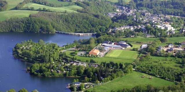
PR n 16 Onet le château-Le moulin de Cantaranne
- Mis à jour le 23/12/2024
- Identifiant 2281679
Sélectionner le fond de carte

PLAN IGN

PHOTOS AERIENNES

CARTES IGN MULTI-ECHELLES

TOP 25 IGN

CARTES DES PENTES

PARCELLES CADASTRALES

CARTES OACI

CARTES 1950 IGN

CARTE DE L’ETAT-MAJOR (1820-1866)

Open Street Map
Afficher les points d'intérêt à proximité
Hébergements
Informations
Lieux d'intérêts
Producteurs
Restauration
Services et Commerces
Autre
Echelle
|
durée / niveau
Rando pédestre
|
distance
6,4 km
type parcours
|
|||||||||
|
Lieu de départ
Onet-le-chateau
|
accessibilite
|
|||||||||
|
prestations payantes
Non
|
type(s) de sol
|
|||||||||
description
Ballade tranquille beaucoup de goudron
Hébergements à proximité


infos parcours (3)
1
3 Rte de st Mayne
Informations complémentaires
kilomètre
2,13
latitude
44.3679
altitude
565
m
longitude
2.61519
2
Étape 2
Informations complémentaires
kilomètre
4,45
latitude
44.3711
altitude
530
m
longitude
2.59191
3
Étape 4 chemin de st Marc
Tourne À ghe
Informations complémentaires
kilomètre
8,34
latitude
44.3711
altitude
531
m
longitude
2.59185
Points d'interêt (2)
A
Voir la fiche du point d'intéret »
Point d'intérêt du 23/11/2023 09:46:56
Monument & architecture
Église de St Mayme
Informations complémentaires
kilomètre
3,01
latitude
44.3729
altitude
541
m
longitude
2.60812
B
Voir la fiche du point d'intéret »
Point d'intérêt du 23/11/2023 09:48:10
Monument & architecture
Informations complémentaires
kilomètre
3,03
latitude
44.3731
altitude
541
m
longitude
2.60814
michel
Note moyenne
Cartes associées
