
Creuse Randosanté mycologique
- Mis à jour le 23/12/2024
- Identifiant 2285413
Sélectionner le fond de carte

PLAN IGN

PHOTOS AERIENNES

CARTES IGN MULTI-ECHELLES

TOP 25 IGN

CARTES DES PENTES

PARCELLES CADASTRALES

CARTES OACI

CARTES 1950 IGN

CARTE DE L’ETAT-MAJOR (1820-1866)

Open Street Map
Afficher les points d'intérêt à proximité
Hébergements
Informations
Lieux d'intérêts
Producteurs
Restauration
Services et Commerces
Autre
Echelle
|
durée / niveau
Rando pédestre
|
distance
6,0 km
type parcours
|
|||||||||
|
Lieu de départ
6 Rue Chemin de la Vallée
80480 CREUSE |
accessibilite
|
|||||||||
|
prestations payantes
Non
|
type(s) de sol
|
|||||||||
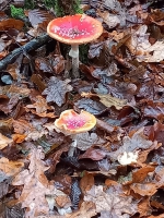
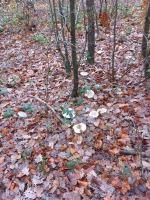
Photos & vidéos (2)
|
|
description
Randosante dans le bois de Malplatel
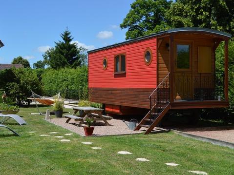
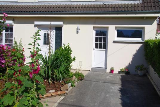
Hébergements à proximité


infos parcours (4)
1
Étape 1
Informations complémentaires
kilomètre
1,76
latitude
49.8342
altitude
120
m
longitude
2.14141
2
Étape 2
Informations complémentaires
kilomètre
2,25
latitude
49.8313
altitude
112
m
longitude
2.14604
3
Étape 3
Informations complémentaires
kilomètre
2,39
latitude
49.8309
altitude
116
m
longitude
2.14397
4
Étape 4
Informations complémentaires
kilomètre
3,57
latitude
49.8268
altitude
105
m
longitude
2.14544
Points d'interêt (3)
A
Voir la fiche du point d'intéret »
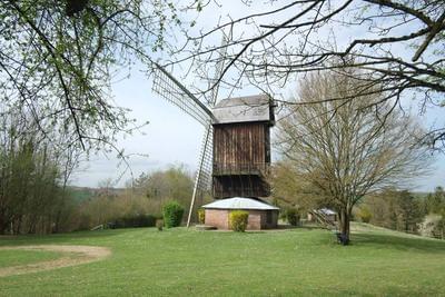
Point d'intérêt du 29/11/2023 10:27:34
Monument & architecture
Informations complémentaires
kilomètre
1,45
latitude
49.8362
altitude
115
m
longitude
2.14431
B
Voir la fiche du point d'intéret »
Point d'intérêt du 29/11/2023 11:15:15
Monument & architecture
Informations complémentaires
kilomètre
3,99
latitude
49.8292
altitude
117
m
longitude
2.14706
C
Voir la fiche du point d'intéret »
Point d'intérêt du 29/11/2023 11:31:49
Monument & architecture
Informations complémentaires
kilomètre
5,13
latitude
49.835
altitude
83
m
longitude
2.15601
Bruno
Note moyenne
Cartes associées
