
AUTOUR DE LA CHAISE-DIEU
- Mis à jour le 12/02/2024
- Identifiant 2308235
Sélectionner le fond de carte

PLAN IGN

PHOTOS AERIENNES

CARTES IGN MULTI-ECHELLES

TOP 25 IGN

CARTES DES PENTES

PARCELLES CADASTRALES

CARTES OACI

CARTES 1950 IGN

CARTE DE L’ETAT-MAJOR (1820-1866)

Open Street Map
Afficher les points d'intérêt à proximité
Hébergements
Informations
Lieux d'intérêts
Producteurs
Restauration
Services et Commerces
Autre
Echelle
|
durée / niveau
Rando pédestre
|
distance
9,0 km
type parcours
Boucle
|
|||||||||
|
Lieu de départ
43160 La Chaise-Dieu
|
accessibilite
|
|||||||||
|
prestations payantes
Non
|
type(s) de sol
|
|||||||||
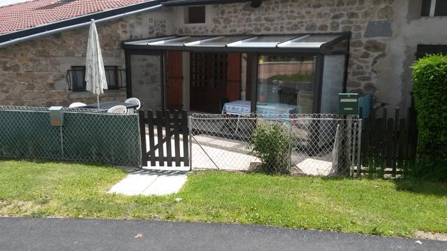
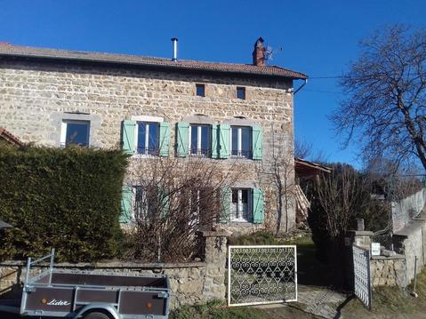
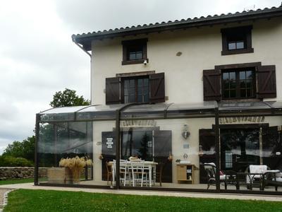
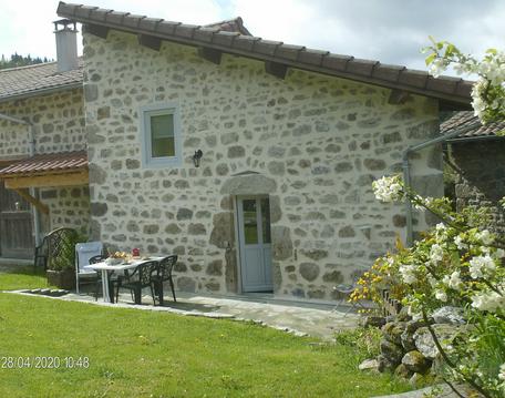
Hébergements à proximité

infos parcours (11)
1
Carrefour, poursuivre tout droit, direction Nord
Informations complémentaires
kilomètre
0,68
latitude
45.3247
altitude
1066
m
longitude
3.69876
2
Embranchement, prendre à gauche direction Baffour
Informations complémentaires
kilomètre
1,31
latitude
45.3301
altitude
1054
m
longitude
3.69872
3
A Mozun, prendre chemin à droite des maisons
Informations complémentaires
kilomètre
3,06
latitude
45.3372
altitude
1042
m
longitude
3.68609
4
Bifurcation : emprunter le chemin de gauche
Informations complémentaires
kilomètre
3,88
latitude
45.3332
altitude
1057
m
longitude
3.67792
5
Après pont voie ferrée, prendre route à droite
Informations complémentaires
kilomètre
4,66
latitude
45.327
altitude
990
m
longitude
3.67473
6
Carrefour: prendre à gauche, direction Sud-Est
Informations complémentaires
kilomètre
5,20
latitude
45.3253
altitude
941
m
longitude
3.66835
7
Embranchement : suivre le GRP à droite
Informations complémentaires
kilomètre
5,47
latitude
45.3241
altitude
956
m
longitude
3.67182
8
Bifurcation : prendre à gauche
Informations complémentaires
kilomètre
6,08
latitude
45.3187
altitude
950
m
longitude
3.66994
9
Au devant du ruisseau, tourner à gauche
Informations complémentaires
kilomètre
6,55
latitude
45.3147
altitude
918
m
longitude
3.6687
10
Carrefour (antenne-relais) suivre piste à gauche.
Informations complémentaires
kilomètre
7,21
latitude
45.3144
altitude
963
m
longitude
3.6769
11
D4, traverser et continuer à gauche
Informations complémentaires
kilomètre
8,64
latitude
45.3181
altitude
1048
m
longitude
3.69359

