
CALVISSON
- Mis à jour le 22/01/2024
- Identifiant 2318029
Sélectionner le fond de carte

PLAN IGN

PHOTOS AERIENNES

CARTES IGN MULTI-ECHELLES

TOP 25 IGN

CARTES DES PENTES

PARCELLES CADASTRALES

CARTES OACI

CARTES 1950 IGN

CARTE DE L’ETAT-MAJOR (1820-1866)

Open Street Map
Afficher les points d'intérêt à proximité
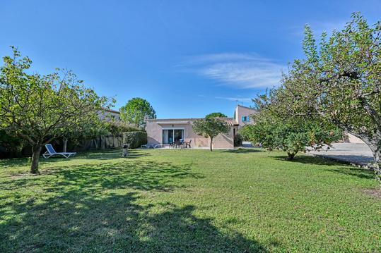
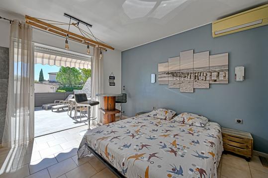
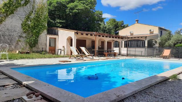
Hébergements
Informations
Lieux d'intérêts
Producteurs
Restauration
Services et Commerces
Autre
Echelle
|
durée / niveau
Marche nordique
|
distance
12,2 km
type parcours
|
|||||||||
|
Lieu de départ
30420 Calvisson
|
accessibilite
|
|||||||||
|
prestations payantes
Non
|
type(s) de sol
|
|||||||||
|
Mots clés
CALVISSON
|
||||||||||
Hébergements à proximité


infos parcours (4)
1
Patrimoine: Temple de Calvisson
Informations complémentaires
kilomètre
0,47
latitude
43.7841
altitude
67
m
longitude
4.1909
2
Agriculture, vignoble, terroir: Oliviers
Informations complémentaires
kilomètre
0,60
latitude
43.7835
altitude
81
m
longitude
4.18996
3
Faune: Manade du Roc
Informations complémentaires
kilomètre
4,59
latitude
43.7823
altitude
122
m
longitude
4.16127
4
Architecture: Les Trois Moulins
Informations complémentaires
kilomètre
8,23
latitude
43.782
altitude
141
m
longitude
4.17635
jose
Note moyenne
Cartes associées
