
Circuit de ville Parcours à travers d'Altorf
- Mis à jour le 08/09/2025
- Identifiant 2324238
Sélectionner le fond de carte

PLAN IGN

PHOTOS AERIENNES

CARTES IGN MULTI-ECHELLES

TOP 25 IGN

CARTES DES PENTES

PARCELLES CADASTRALES

CARTES OACI

CARTES 1950 IGN

CARTE DE L’ETAT-MAJOR (1820-1866)

Open Street Map
Afficher les points d'intérêt à proximité
Hébergements
Informations
Lieux d'intérêts
Producteurs
Restauration
Services et Commerces
Autre
Echelle
|
durée / niveau
Rando pédestre
|
distance
2,2 km
type parcours
|
|||||||||
|
Lieu de départ
cour de la Dîme
67120 ALTORF |
accessibilite
|
|||||||||
|
prestations payantes
Non
|
type(s) de sol
|
|||||||||
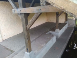
Photos & vidéos (6)
|
|
|
|
|
|
description
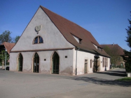
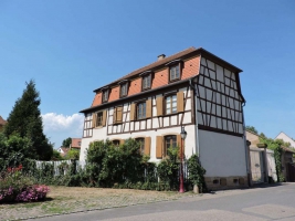
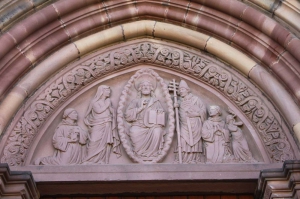
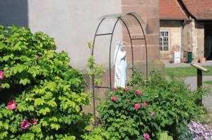
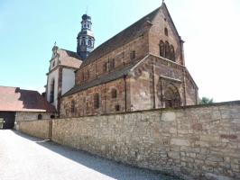
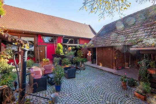
A la découverte du patrimoine historique et à la rencontre des richesses architecturales du village d’Altorf : l’ancien moulin de l’Abbaye et les écuries, les lavoirs, le banc reposoir, la chapelle, le corps de garde.
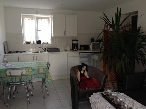
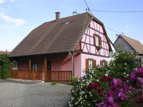
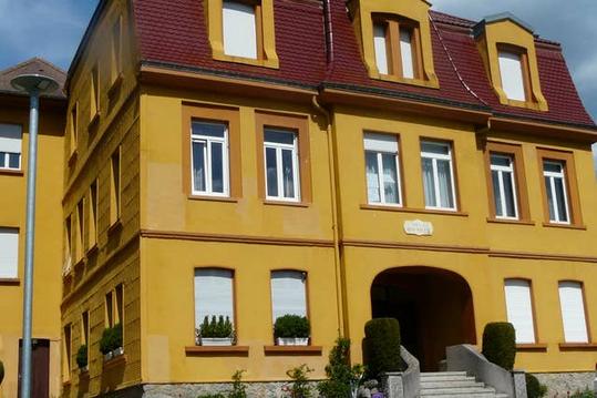
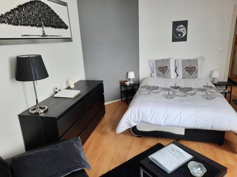
Hébergements à proximité

Contact
Tel : 03 88 38 11 61
Email : infos@ot-molsheim-mutzig.com
Site web : www.ot-molsheim-mutzig.com
Email : infos@ot-molsheim-mutzig.com
Site web : www.ot-molsheim-mutzig.com

