circuit des plombières de Sare en partant du col de Lizarrieta
- Mis à jour le 11/02/2024
- Identifiant 2334271
Sélectionner le fond de carte

PLAN IGN

PHOTOS AERIENNES

CARTES IGN MULTI-ECHELLES

TOP 25 IGN

CARTES DES PENTES

PARCELLES CADASTRALES

CARTES OACI

CARTES 1950 IGN

CARTE DE L’ETAT-MAJOR (1820-1866)

Open Street Map
Afficher les points d'intérêt à proximité
Hébergements
Informations
Lieux d'intérêts
Producteurs
Restauration
Services et Commerces
Autre
Echelle
|
durée / niveau
Rando pédestre
|
distance
7,1 km
type parcours
Boucle
|
|||||||||
|
Lieu de départ
64310 Sare
|
accessibilite
|
|||||||||
|
prestations payantes
Non
|
type(s) de sol
Terre
Herbe |
|||||||||
description
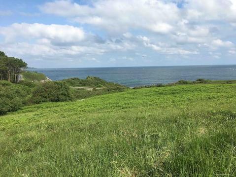
Belles vues sur l'Atxuria et les cotes
Hébergements à proximité
infos parcours (7)
1
Parking du
Informations complémentaires
kilomètre
0,00
latitude
43.2604
altitude
443
m
longitude
-1.61892
2
Replat = rester sur la piste
Informations complémentaires
kilomètre
0,54
latitude
43.2567
altitude
474
m
longitude
-1.61582
3
Palombières d' Etxalar
Informations complémentaires
kilomètre
0,87
latitude
43.2552
altitude
454
m
longitude
-1.61248
4
À gauche pour traverser la piste
Informations complémentaires
kilomètre
2,97
latitude
43.254
altitude
526
m
longitude
-1.59114
5
Dans le creux
Informations complémentaires
kilomètre
3,46
latitude
43.2576
altitude
479
m
longitude
-1.58798
6
Croisement avec large piste
Informations complémentaires
kilomètre
4,22
latitude
43.257
altitude
463
m
longitude
-1.59526
7
Parking du Col de Lizarrieta
Informations complémentaires
kilomètre
14,20
latitude
43.2604
altitude
444
m
longitude
-1.61869


