
montcalm
- Thématique Randonnée
- Mis à jour le 06/03/2024
- Identifiant 2357040
Sélectionner le fond de carte

PLAN IGN

PHOTOS AERIENNES

CARTES IGN MULTI-ECHELLES

TOP 25 IGN

CARTES DES PENTES

PARCELLES CADASTRALES

CARTES OACI

CARTES 1950 IGN

CARTE DE L’ETAT-MAJOR (1820-1866)

Open Street Map
Afficher les points d'intérêt à proximité
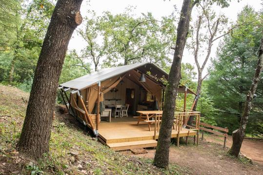
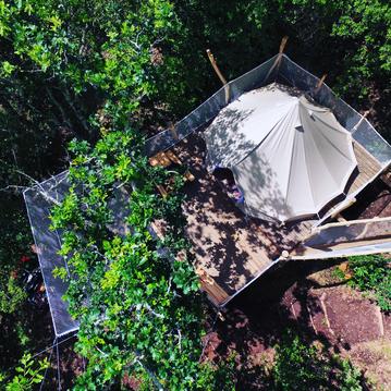
Hébergements
Informations
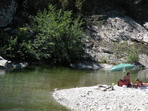
Lieux d'intérêts
Producteurs
Restauration
Services et Commerces
Autre
Echelle
|
durée / niveau
Rando pédestre
|
distance
7,0 km
type parcours
Boucle
|
|||||||||
|
Lieu de départ
Saint-jean-du-pin
|
accessibilite
|
|||||||||
|
prestations payantes
Non
|
type(s) de sol
Bitume
Terre |
|||||||||
Hébergements à proximité

infos parcours (9)
1
Parking
Informations complémentaires
kilomètre
0,01
latitude
44.1182
altitude
210
m
longitude
4.03371
2
Parking
Informations complémentaires
kilomètre
0,01
latitude
44.1182
altitude
210
m
longitude
4.0337
3
Poteau : La Calade
Informations complémentaires
kilomètre
0,16
latitude
44.1181
altitude
216
m
longitude
4.03184
4
Bifurcation
Informations complémentaires
kilomètre
1,14
latitude
44.1223
altitude
291
m
longitude
4.02317
5
Sentier
Informations complémentaires
kilomètre
1,90
latitude
44.1277
altitude
341
m
longitude
4.02553
6
Poteau : Sous Cabane
Informations complémentaires
kilomètre
3,18
latitude
44.134
altitude
512
m
longitude
4.01765
7
Panoramas du Moncalm
Informations complémentaires
kilomètre
3,62
latitude
44.1335
altitude
562
m
longitude
4.02148
8
poteau : Muraille du Moncalm
Informations complémentaires
kilomètre
4,11
latitude
44.1345
altitude
505
m
longitude
4.02697
9
Croisement D50c
Informations complémentaires
kilomètre
5,56
latitude
44.1272
altitude
317
m
longitude
4.03664
JEAN MARC
Note moyenne
Cartes associées
