
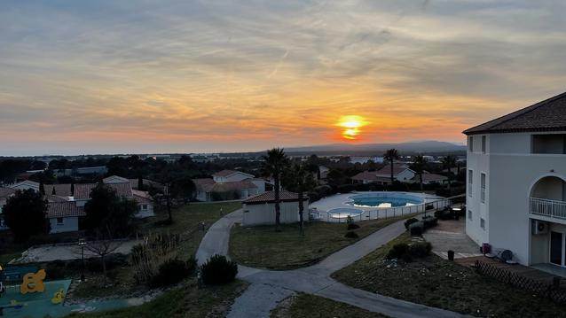
Source de l'Huveaune
- Thématique Insolite
- Mis à jour le 08/04/2024
- Identifiant 2362727


|
durée / niveau
Rando pédestre
|
distance
12,8 km
type parcours
Boucle
|
|||||||||
|
Lieu de départ
32 Chemin de l’Orge
83860 Nans-les-Pins |
accessibilite
|
|||||||||
|
prestations payantes
Non
|
type(s) de sol
Terre
Herbe Rochers |
|||||||||
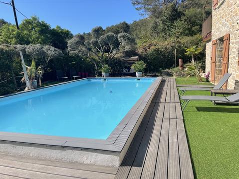
Hébergements à proximité
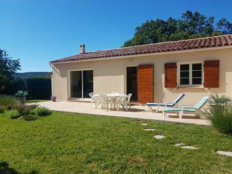
Amoureux de La Sainte Baume à 45mn des Calanques
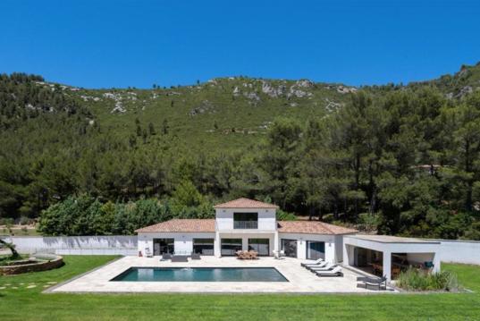
Villa Koï, piscine chauffée, spa, salle sport
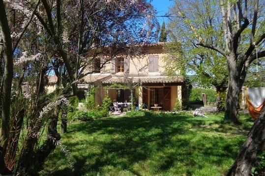
Le Mazette,mas en Provence pour 9 p
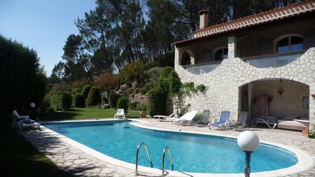
Maison provencale 240m2 avec piscine 6 x 12 m
DOMAINE DE MANON
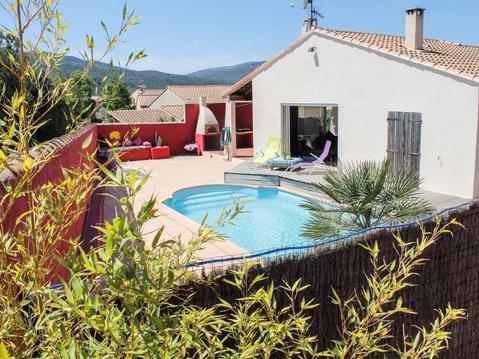
Villa avec piscine privée, plage à proximité
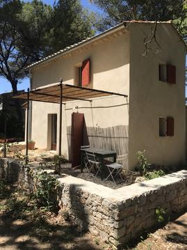
Cabanon en Provence
Beau gîte au milieu de la garrigue

infos parcours (14)
Parking Chapelle
Bifurcation
Croisement - Citerne
Petit pont
Petit pont sur l'Huveaune
Source
Carrefour
Grotte de Castelette
Piste
Jonction avec le GR9
Oratoire de Miette
Carrefour GR9 - GR9A
Croisement avec le sentier de découverte
Parking Chapelle
Jean pierre
Cartes associées
