
velleron
- Mis à jour le 08/04/2024
- Identifiant 2370257


|
durée / niveau
Rando pédestre
|
distance
5,7 km
type parcours
|
|||||||||
|
Lieu de départ
811 Chemin des Arrayés
84740 Velleron |
accessibilite
|
|||||||||
|
prestations payantes
Non
|
type(s) de sol
|
|||||||||
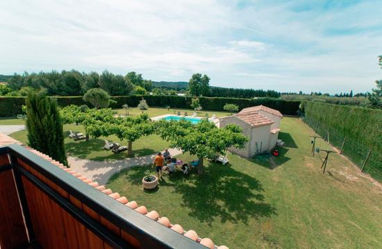
Hébergements à proximité
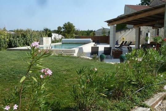
Familial, le Mas du Palladau. 11 à 17 pers.piscine
Chambre Diamant (4 personnes)

Chambre Saphir (3 personnes)
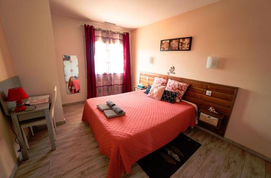
Chambre Rubis (2 personnes)
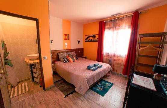
Chambre Jade (2 personnes)
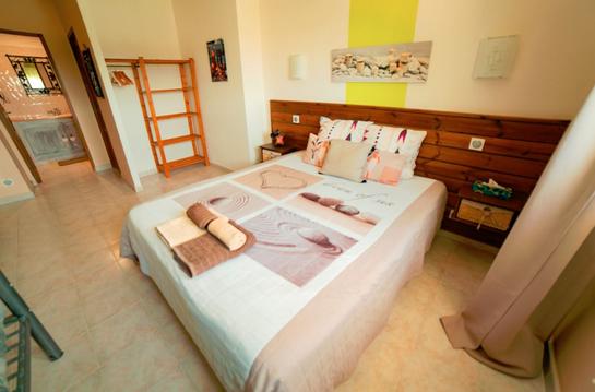
Chambre Emeraude (4 personnes)
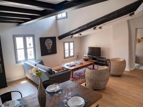
Nid Douillet En Plein Centre D'Isle Sur La Sorgues
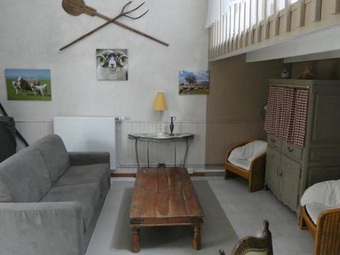
Grand gîte confortable à L'Isle-sur-la-Sorgue

infos parcours (6)
Parking Pont des Arrayes
Parking Pont des Arrayes
Pont de Vinaise, tourner à droite
Virer à gauche
Balise Vedelle, virer à gauche
Continuer tout droit
SIMON
Cartes associées
