
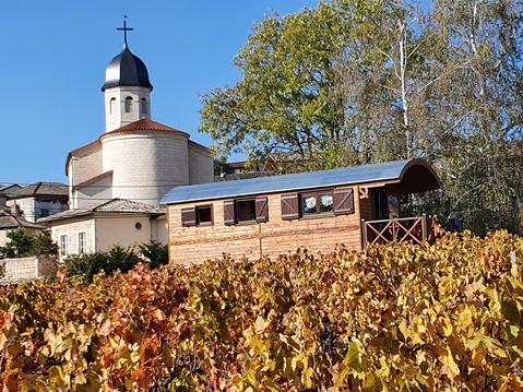
La croix de Rochefort depuis Beaujeu
- Mis à jour le 15/04/2024
- Identifiant 2405321
Sélectionner le fond de carte

PLAN IGN

PHOTOS AERIENNES

CARTES IGN MULTI-ECHELLES

TOP 25 IGN

CARTES DES PENTES

PARCELLES CADASTRALES

CARTES OACI

CARTES 1950 IGN

CARTE DE L’ETAT-MAJOR (1820-1866)

Open Street Map
Afficher les points d'intérêt à proximité
Hébergements
Informations
Lieux d'intérêts
Producteurs
Restauration
Services et Commerces
Autre
Echelle
|
durée / niveau
Rando pédestre
|
distance
15,1 km
type parcours
Boucle
|
|||||||||
|
Lieu de départ
41 Place de la Cure
69430 Beaujeu |
accessibilite
|
|||||||||
|
prestations payantes
Non
|
type(s) de sol
|
|||||||||
Hébergements à proximité

infos parcours (15)
1
Parking de l'église. Proche de l'
Informations complémentaires
kilomètre
0,01
latitude
46.1542
altitude
302
m
longitude
4.58752
2
Montée des Étoux
Informations complémentaires
kilomètre
0,23
latitude
46.154
altitude
307
m
longitude
4.5897
3
Chemin à droite
Informations complémentaires
kilomètre
1,02
latitude
46.1561
altitude
363
m
longitude
4.5978
4
Jonction route, à droite
Informations complémentaires
kilomètre
1,55
latitude
46.1587
altitude
420
m
longitude
4.60016
5
Chemin à gauche
Informations complémentaires
kilomètre
2,26
latitude
46.1618
altitude
427
m
longitude
4.60637
6
Carrefour de chemins, à droite
Informations complémentaires
kilomètre
2,85
latitude
46.1641
altitude
510
m
longitude
4.60385
7
Route, à droite
Informations complémentaires
kilomètre
3,90
latitude
46.1704
altitude
548
m
longitude
4.60063
8
Embranchement, à droite
Informations complémentaires
kilomètre
4,76
latitude
46.1763
altitude
713
m
longitude
4.60424
9
Croix Callet
Informations complémentaires
kilomètre
6,04
latitude
46.1819
altitude
823
m
longitude
4.60031
10
Seconde barrière, bifurcation commune A/R
Informations complémentaires
kilomètre
8,46
latitude
46.1907
altitude
765
m
longitude
4.57683
11
La Croix du Py
Informations complémentaires
kilomètre
8,91
latitude
46.1936
altitude
763
m
longitude
4.57848
12
Épingle
Informations complémentaires
kilomètre
10,00
latitude
46.1854
altitude
703
m
longitude
4.5785
13
À gauche sur GR°®°°
Informations complémentaires
kilomètre
11,09
latitude
46.1771
altitude
572
m
longitude
4.57413
14
Chemin bitumé à droite
Informations complémentaires
kilomètre
13,17
latitude
46.1625
altitude
372
m
longitude
4.5804
15
Parking de l'église
Informations complémentaires
kilomètre
30,21
latitude
46.1542
altitude
302
m
longitude
4.58749
Yves
Note moyenne
Cartes associées
