
Mont Ventoux - Pas de la Frache - Tête de la Grave par le Chalet Reynard
- Mis à jour le 17/04/2024
- Identifiant 2406991


|
durée / niveau
Rando pédestre
|
distance
8,9 km
type parcours
Boucle
|
|||||||||
|
Lieu de départ
10 Chemin de la Combe
84410 Bédoin |
accessibilite
|
|||||||||
|
prestations payantes
Non
|
type(s) de sol
Terre
|
|||||||||
Hébergements à proximité
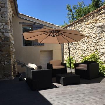
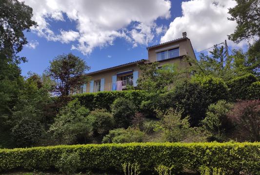
LUXUEUSE BERGERIE AU PIED DU VENTOUX
les eyssaux en baronnies provençales
BEDOIN MONT VENTOUX calme, nature et soleil à l'ou
gite les pousse-chiens
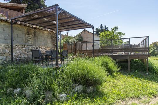
Maison écologique idéale escalade et cyclisme
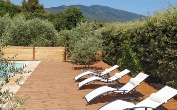
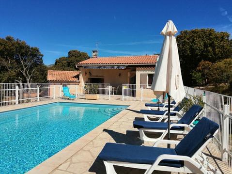
Magnifique villa au pied du Mont Ventoux
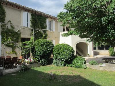
Entre Nesque et Ventoux
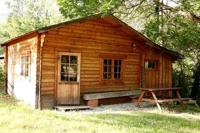
chalet à La-Roche-sur-le-Buis

infos parcours (7)
Le Signal, direction
Au cairn, à gauche
Au cairn, à gauche
Serres Gros
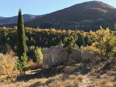
La Tête de la Grave
À gauche entre les piquets
Chalet Reynard
Liliane
Cartes associées
