
Picou par cabane de la Devèze
- Mis à jour le 20/04/2024
- Identifiant 2411314
Sélectionner le fond de carte

PLAN IGN

PHOTOS AERIENNES

CARTES IGN MULTI-ECHELLES

TOP 25 IGN

CARTES DES PENTES

PARCELLES CADASTRALES

CARTES OACI

CARTES 1950 IGN

CARTE DE L’ETAT-MAJOR (1820-1866)

Open Street Map
Afficher les points d'intérêt à proximité
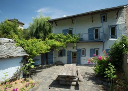
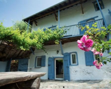
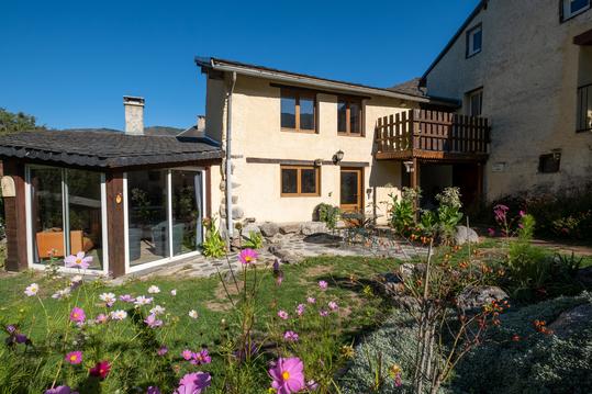
Hébergements
Informations
Lieux d'intérêts
Producteurs
Restauration
Services et Commerces
Autre
Echelle
|
durée / niveau
Rando pédestre
|
distance
16,6 km
type parcours
Boucle
|
|||||||||
|
Lieu de départ
304 Devant Legrillou
09000 Brassac |
accessibilite
|
|||||||||
|
prestations payantes
Non
|
type(s) de sol
Terre
Herbe |
|||||||||
Hébergements à proximité


infos parcours (17)
1
Rocher de Batail
Informations complémentaires
kilomètre
7,47
latitude
42.9059
altitude
1701
m
longitude
1.50735
2
Parking Col de Légrillou
Informations complémentaires
kilomètre
0,01
latitude
42.9413
altitude
939
m
longitude
1.49833
3
Croisement, à droite
Informations complémentaires
kilomètre
15,02
latitude
42.9317
altitude
1022
m
longitude
1.50357
4
Embranchement, tout droit
Informations complémentaires
kilomètre
20,12
latitude
42.9193
altitude
1114
m
longitude
1.50252
5
Route Forestière du Calmil, à gauche
Informations complémentaires
kilomètre
22,20
latitude
42.9249
altitude
1142
m
longitude
1.5175
6
Croisement de chemins, à droite
Informations complémentaires
kilomètre
22,98
latitude
42.919
altitude
1295
m
longitude
1.5207
7
Cabane de l'Homme Mort
Informations complémentaires
kilomètre
23,50
latitude
42.9166
altitude
1390
m
longitude
1.52291
8
Le Picou
Informations complémentaires
kilomètre
24,39
latitude
42.911
altitude
1595
m
longitude
1.5183
9
Bifurcation à gauche
Informations complémentaires
kilomètre
24,82
latitude
42.9076
altitude
1630
m
longitude
1.51787
10
Parking Col de Légrillou
Informations complémentaires
kilomètre
33,19
latitude
42.9412
altitude
940
m
longitude
1.49824
11
Arrivée en crête
Informations complémentaires
kilomètre
27,60
latitude
42.9063
altitude
1685
m
longitude
1.48585
12
Poteau-balise, à gauche
Informations complémentaires
kilomètre
28,09
latitude
42.9103
altitude
1552
m
longitude
1.48478
13
Cabane de la Devèze
Informations complémentaires
kilomètre
28,64
latitude
42.9146
altitude
1512
m
longitude
1.48752
14
Embranchement, à droite
Informations complémentaires
kilomètre
29,34
latitude
42.9196
altitude
1397
m
longitude
1.492
15
Fourche, à gauche
Informations complémentaires
kilomètre
30,13
latitude
42.9249
altitude
1314
m
longitude
1.49317
16
Cairn, épingle à droite
Informations complémentaires
kilomètre
31,25
latitude
42.9328
altitude
1203
m
longitude
1.49397
17
Embranchement, à droite
Informations complémentaires
kilomètre
32,92
latitude
42.9389
altitude
990
m
longitude
1.49777
Sonia
Note moyenne
Cartes associées
