
Port de Merrien - rive gauche
- Mis à jour le 29/05/2024
- Identifiant 2448748
Sélectionner le fond de carte

PLAN IGN

PHOTOS AERIENNES

CARTES IGN MULTI-ECHELLES

TOP 25 IGN

CARTES DES PENTES

PARCELLES CADASTRALES

CARTES OACI

CARTES 1950 IGN

CARTE DE L’ETAT-MAJOR (1820-1866)

Open Street Map
Afficher les points d'intérêt à proximité
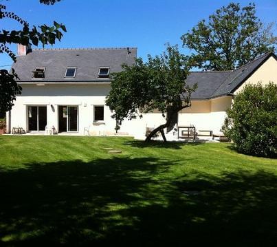
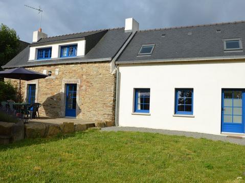
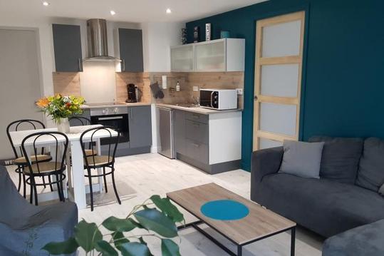
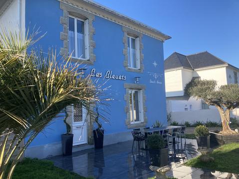
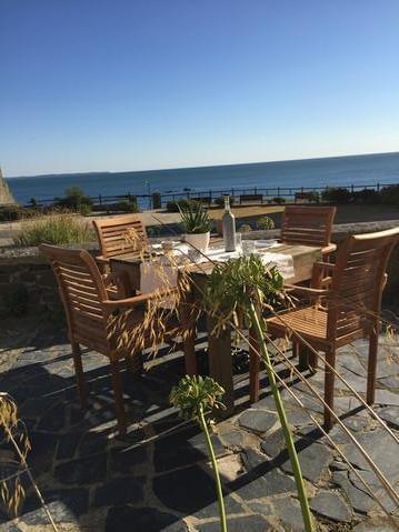
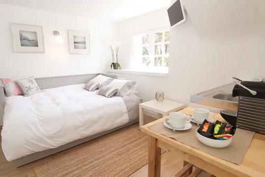
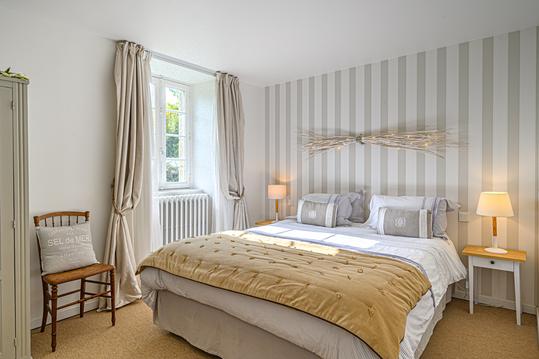
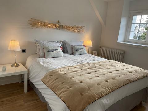
Hébergements
Informations
Lieux d'intérêts
Producteurs
Restauration
Services et Commerces
Autre
Echelle
|
durée / niveau
Rando pédestre
|
distance
9,9 km
type parcours
|
|||||||||
|
Lieu de départ
40 Rue du Port
29350 Moëlan-sur-Mer |
accessibilite
|
|||||||||
|
prestations payantes
Non
|
type(s) de sol
Bitume
Graviers Sable Terre Herbe |
|||||||||
description
Port, parc à huitres, moulin l'Abbé, chaumières et fontaines de St Thamec, sentier et hameaux côtiers, criques de Porz Chinec et Porz Bali
Hébergements à proximité

infos parcours (12)
1
Parking du port de Merrien
Informations complémentaires
kilomètre
0,00
latitude
47.7825
altitude
4
m
longitude
-3.64697
2
Parking du port de Merrien
Informations complémentaires
kilomètre
0,00
latitude
47.7825
altitude
4
m
longitude
-3.64694
3
Sentier venant du deuxième parking
Informations complémentaires
kilomètre
0,84
latitude
47.7774
altitude
12
m
longitude
-3.64551
4
Anse de Porz Teg
Informations complémentaires
kilomètre
3,32
latitude
47.7744
altitude
6
m
longitude
-3.62877
5
Bifurcation. Quitter le sentier côtier.
Informations complémentaires
kilomètre
4,55
latitude
47.7725
altitude
6
m
longitude
-3.62081
6
Rue à gauche
Informations complémentaires
kilomètre
5,37
latitude
47.7791
altitude
33
m
longitude
-3.62187
7
Sentier à gauche passant près d'un lavoir
Informations complémentaires
kilomètre
5,90
latitude
47.7807
altitude
16
m
longitude
-3.62755
8
Bifurcation. A gauche entre deux maisons.
Informations complémentaires
kilomètre
6,11
latitude
47.7812
altitude
27
m
longitude
-3.62922
9
Virer à gauche
Informations complémentaires
kilomètre
7,14
latitude
47.7884
altitude
35
m
longitude
-3.63283
10
Bifurcation de Pen ar Prat
Informations complémentaires
kilomètre
7,82
latitude
47.7932
altitude
26
m
longitude
-3.63269
11
Moulin l'Abbé.
Informations complémentaires
kilomètre
8,26
latitude
47.7929
altitude
5
m
longitude
-3.63762
12
Installations ostréicoles
Informations complémentaires
kilomètre
9,32
latitude
47.786
altitude
12
m
longitude
-3.64324
jacques
Note moyenne
Cartes associées
