
beduer-cahors-par-la-vallee-du-cele
- Mis à jour le 26/05/2024
- Identifiant 2454658


|
durée / niveau
Rando pédestre
|
distance
105,3 km
type parcours
Aller Simple
|
|||||||||
|
Lieu de départ
142 Rue St Etienne
46100 Béduer |
accessibilite
|
|||||||||
|
prestations payantes
Non
|
type(s) de sol
|
|||||||||
Hébergements à proximité
5 km Figeac, Maison de Charme dans presbytère 18è,

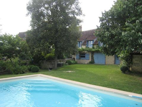
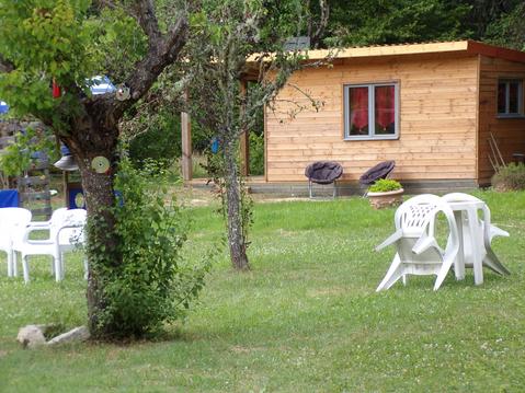
Maison avec piscine

les chalets de la colline
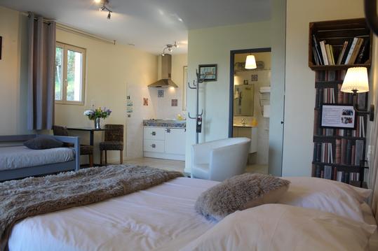
studio avec kitchenette dans petite structure
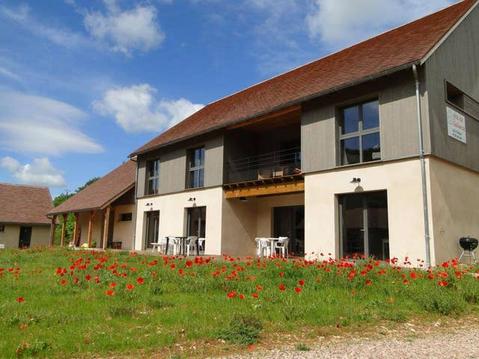
Grand gîte de groupe pour 15 ou 18 personnes
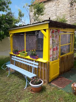
LE PETIT POULAILLER
"Le Cabanon" au pied des falaises
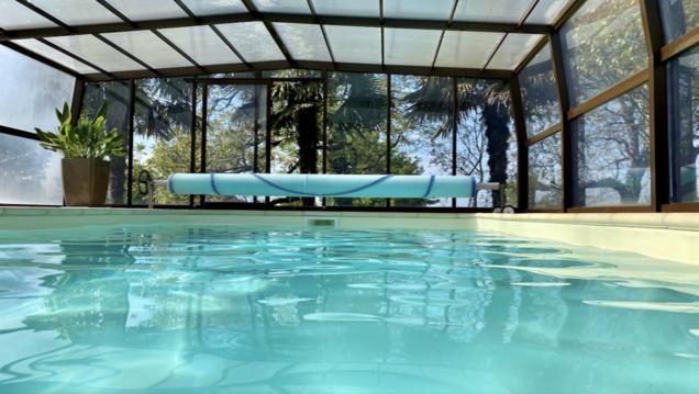
Gîte du Vigneron Pays de Padirac, piscine couverte

infos parcours (6)
Camping Le Moulin Vieux
Camping Marcilhac sur Celé
Camping La plage Saint Cirq Lapopie
Camping Saint Géry
Camping Cabrerets
Camping Cahors
Pascal
Cartes associées
