
port de l'Artigues
- Mis à jour le 30/05/2024
- Identifiant 2460163


|
durée / niveau
Rando pédestre
|
distance
19,4 km
type parcours
Aller/Retour
|
|||||||||
|
Lieu de départ
926 Lagreu
Auzat |
accessibilite
|
|||||||||
|
prestations payantes
Non
|
type(s) de sol
Terre
Herbe Rochers |
|||||||||
Hébergements à proximité
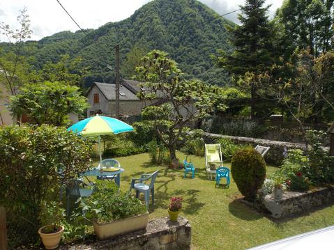
location vacances parc naturel regional pyrenees
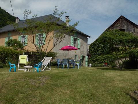
Gîte Parc Naturel Pyrénées Ariegeoises
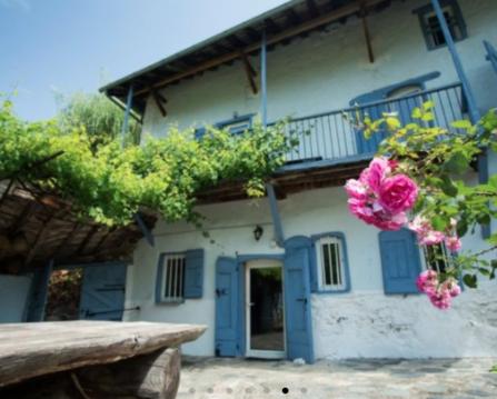
Gîte 2 personnes Larnum
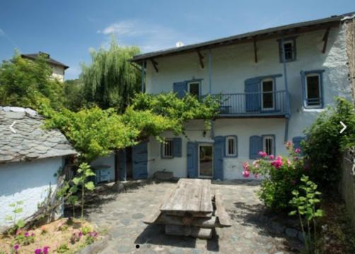
Gîte MAJOR 16 pesronnes
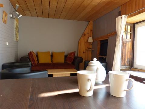
Ciboule 8p + chambre d'hôte la petite Mouline 3p
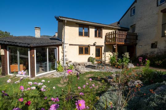
Gîte Léna avec piscine et jardin BBQ
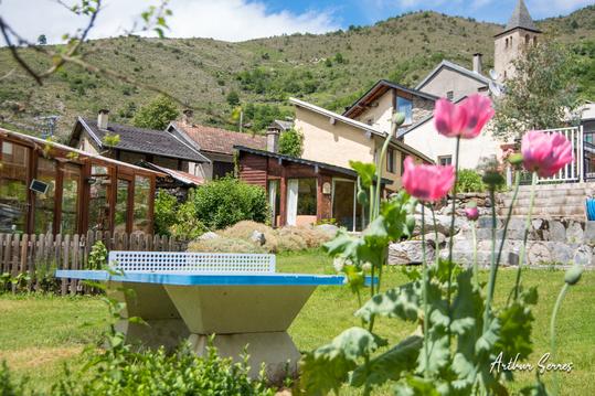
gîtes en montagne avec piscine
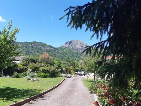
Gîte Lotus du clos des pradals Tarascon Ariège

infos parcours (5)
agathe
Cartes associées
