
Chisseaux 19km
- Mis à jour le 24/08/2024
- Identifiant 2483788
Sélectionner le fond de carte

PLAN IGN

PHOTOS AERIENNES

CARTES IGN MULTI-ECHELLES

TOP 25 IGN

CARTES DES PENTES

PARCELLES CADASTRALES

CARTES OACI

CARTES 1950 IGN

CARTE DE L’ETAT-MAJOR (1820-1866)

Open Street Map
Afficher les points d'intérêt à proximité
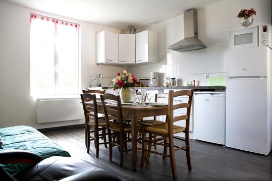
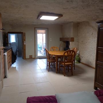
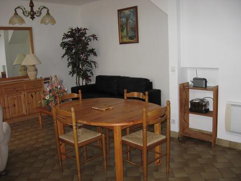
Hébergements
Informations
Lieux d'intérêts
Producteurs
Restauration
Services et Commerces
Autre
Echelle
|
durée / niveau
Rando pédestre
|
distance
19,0 km
type parcours
Boucle
|
|||||||||
|
Lieu de départ
115 rue Nationale
37150 Chisseaux |
accessibilite
|
|||||||||
|
prestations payantes
Non
|
type(s) de sol
Bitume
Terre |
|||||||||
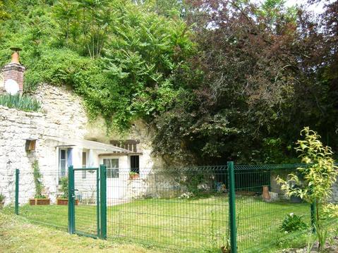
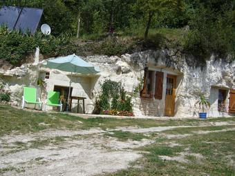
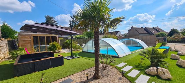
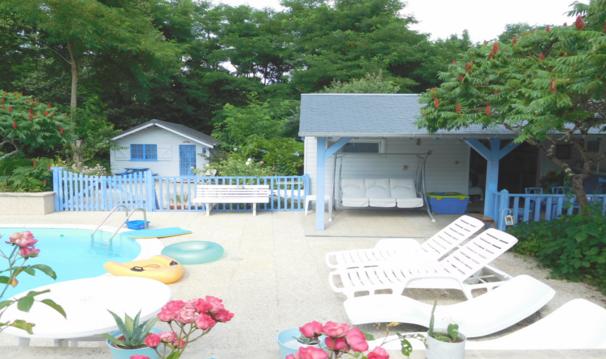
Hébergements à proximité

infos parcours (22)
1
Traversée de la D80
Informations complémentaires
kilomètre
8,45
latitude
47.3265
altitude
63
m
longitude
1.0834
2
Bord de Cher X Rue de la Plage
Informations complémentaires
kilomètre
17,29
latitude
47.3293
altitude
58
m
longitude
1.0911
3
À gauche le long du Cher
Informations complémentaires
kilomètre
21,39
latitude
47.3278
altitude
57
m
longitude
1.0831
4
Jonction avec la D80
Informations complémentaires
kilomètre
21,66
latitude
47.3301
altitude
62
m
longitude
1.08177
5
À gauche
Informations complémentaires
kilomètre
22,60
latitude
47.3305
altitude
60
m
longitude
1.06937
6
À droite Rue Bretonneau
Informations complémentaires
kilomètre
22,87
latitude
47.3316
altitude
66
m
longitude
1.06726
7
À droite face à la voie ferrée
Informations complémentaires
kilomètre
23,34
latitude
47.3312
altitude
63
m
longitude
1.06128
8
À gauche le long du canal
Informations complémentaires
kilomètre
24,23
latitude
47.3234
altitude
57
m
longitude
1.05973
9
À gauche, passage sous le pont
Informations complémentaires
kilomètre
25,80
latitude
47.3261
altitude
56
m
longitude
1.03931
10
À gauche vers la route D81
Informations complémentaires
kilomètre
26,18
latitude
47.3251
altitude
55
m
longitude
1.03978
11
Château de Chenonceau
Informations complémentaires
kilomètre
28,58
latitude
47.3241
altitude
58
m
longitude
1.07084
12
Rue de la Plage x bord de
Informations complémentaires
kilomètre
20,74
latitude
47.3294
altitude
58
m
longitude
1.09115
13
À gauche à la fourche
Informations complémentaires
kilomètre
30,82
latitude
47.3266
altitude
59
m
longitude
1.0985
14
À droite vers la D17
Informations complémentaires
kilomètre
31,62
latitude
47.3204
altitude
76
m
longitude
1.09863
15
La Moleterie
Informations complémentaires
kilomètre
32,83
latitude
47.3219
altitude
62
m
longitude
1.11395
16
Rue Mon Idée
Informations complémentaires
kilomètre
33,65
latitude
47.3221
altitude
77
m
longitude
1.12479
17
Traversée de la D976
Informations complémentaires
kilomètre
34,24
latitude
47.3274
altitude
60
m
longitude
1.1235
18
À gauche sur la route vers la D976
Informations complémentaires
kilomètre
34,76
latitude
47.3318
altitude
59
m
longitude
1.12369
19
Escalier à droite
Informations complémentaires
kilomètre
35,44
latitude
47.3307
altitude
58
m
longitude
1.13248
20
À gauche vers l'église
Informations complémentaires
kilomètre
36,21
latitude
47.3326
altitude
59
m
longitude
1.12644
21
Traverser et à gauche
Informations complémentaires
kilomètre
19,73
latitude
47.3315
altitude
62
m
longitude
1.09879
22
À gauche vers l'église
Informations complémentaires
kilomètre
20,37
latitude
47.3313
altitude
66
m
longitude
1.09351
Catherine
Note moyenne
Cartes associées
