
119-Grenoble 05-07-24
- Thématique Ville
- Mis à jour le 18/12/2024
- Identifiant 2498868


|
durée / niveau
Rando pédestre
|
distance
3,3 km
type parcours
Boucle
|
|||||||||
|
Lieu de départ
4bis Route de Lyon
38000 Grenoble |
accessibilite
|
|||||||||
|
prestations payantes
Non
|
type(s) de sol
Bitume
|
|||||||||
Hébergements à proximité
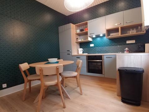
APPARTEMENT TOUT CONFORT AU CALME DANS GRENOBLE
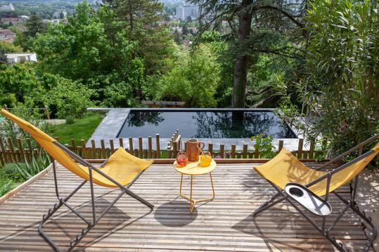
Eco-chalet avec piscine entre ville et montagne
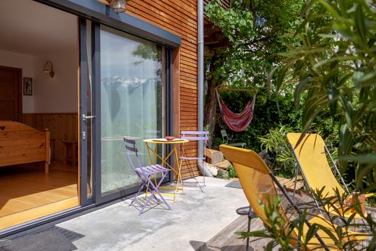
Chambre privée vue sur ville, piscine et montagne
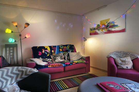
JOLI NID DOUILLET
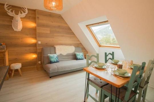
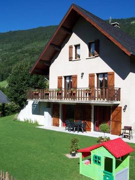
Le Cerf des Neiges de Lans-en-Vercors
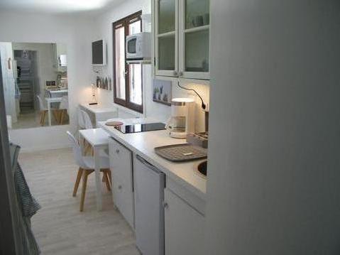
Studio confortable et bien équipé
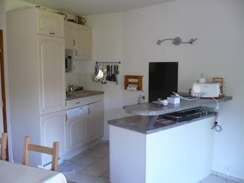
Bel appart 3 étoiles, famille, 8p, Autrans-Méaudre
Le Vernon


