
Mont Falcon
- Mis à jour le 01/09/2024
- Identifiant 2554568
Sélectionner le fond de carte

PLAN IGN

PHOTOS AERIENNES

CARTES IGN MULTI-ECHELLES

TOP 25 IGN

CARTES DES PENTES

PARCELLES CADASTRALES

CARTES OACI

CARTES 1950 IGN

CARTE DE L’ETAT-MAJOR (1820-1866)

Open Street Map
Afficher les points d'intérêt à proximité
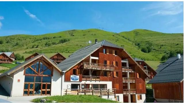
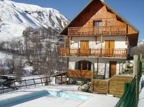
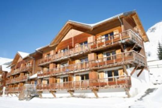
Hébergements
Informations
Lieux d'intérêts
Producteurs
Restauration
Services et Commerces
Autre
Echelle
|
durée / niveau
Rando pédestre
|
distance
17,5 km
type parcours
Boucle
|
|||||||||
|
Lieu de départ
356 Route d'Entraigues
73530 Saint-Jean-d'Arves |
accessibilite
|
|||||||||
|
prestations payantes
Non
|
type(s) de sol
|
|||||||||
|
Mots clés
falcon
|
||||||||||
Hébergements à proximité

infos parcours (19)
1
Romagneux
Informations complémentaires
kilomètre
84,60
latitude
45.8585
altitude
758
m
longitude
5.76627
2
Le Fenestrez
Informations complémentaires
kilomètre
84,93
latitude
45.8649
altitude
1185
m
longitude
5.7741
3
Béon - Parking
Informations complémentaires
kilomètre
85,01
latitude
45.8571
altitude
299
m
longitude
5.75159
4
Béon - Parking
Informations complémentaires
kilomètre
85,01
latitude
45.8571
altitude
299
m
longitude
5.75158
5
La Cornalle
Informations complémentaires
kilomètre
85,55
latitude
45.8711
altitude
1243
m
longitude
5.77394
6
Carrefour de la boucle
Informations complémentaires
kilomètre
85,59
latitude
45.8608
altitude
360
m
longitude
5.74587
7
Bois de Chambon
Informations complémentaires
kilomètre
85,67
latitude
45.8614
altitude
360
m
longitude
5.74536
8
La Roche Percée
Informations complémentaires
kilomètre
85,97
latitude
45.8646
altitude
526
m
longitude
5.7454
9
Cote 672
Informations complémentaires
kilomètre
86,31
latitude
45.8684
altitude
650
m
longitude
5.74634
10
Chanduraz (Champ Duraz)
Informations complémentaires
kilomètre
86,74
latitude
45.8743
altitude
1246
m
longitude
5.74997
11
Virage de la Frappe
Informations complémentaires
kilomètre
87,04
latitude
45.882
altitude
1336
m
longitude
5.76246
12
Bifurcation Chanduraz
Informations complémentaires
kilomètre
87,10
latitude
45.8779
altitude
1280
m
longitude
5.74994
13
En Pryse
Informations complémentaires
kilomètre
87,40
latitude
45.882
altitude
1306
m
longitude
5.75253
14
Planapose
Informations complémentaires
kilomètre
87,54
latitude
45.8792
altitude
1100
m
longitude
5.74138
15
Granges d'Izéna
Informations complémentaires
kilomètre
87,76
latitude
45.8821
altitude
1107
m
longitude
5.74321
16
Montoux
Informations complémentaires
kilomètre
88,05
latitude
45.8895
altitude
1151
m
longitude
5.75485
17
Bifurcation RD120
Informations complémentaires
kilomètre
88,88
latitude
45.8987
altitude
1280
m
longitude
5.75686
18
Croix du Colombier
Informations complémentaires
kilomètre
89,46
latitude
45.9062
altitude
1524
m
longitude
5.7615
19
Granges du Colombier
Informations complémentaires
kilomètre
89,88
latitude
45.9093
altitude
1388
m
longitude
5.75809
Priscillia
Note moyenne
Cartes associées
