
Balade en Ségala
- Mis à jour le 13/09/2024
- Identifiant 2557384
Sélectionner le fond de carte

PLAN IGN

PHOTOS AERIENNES

CARTES IGN MULTI-ECHELLES

TOP 25 IGN

CARTES DES PENTES

PARCELLES CADASTRALES

CARTES OACI

CARTES 1950 IGN

CARTE DE L’ETAT-MAJOR (1820-1866)

Open Street Map
Afficher les points d'intérêt à proximité
Hébergements
Informations
Lieux d'intérêts
Producteurs
Restauration
Services et Commerces
Autre
Echelle
|
durée / niveau
Marche nordique
|
distance
8,3 km
type parcours
Boucle
|
|||||||||
|
Lieu de départ
6 Route de Fontbonne
81190 Sainte-Gemme |
accessibilite
|
|||||||||
|
prestations payantes
Non
|
type(s) de sol
Bitume
Terre |
|||||||||
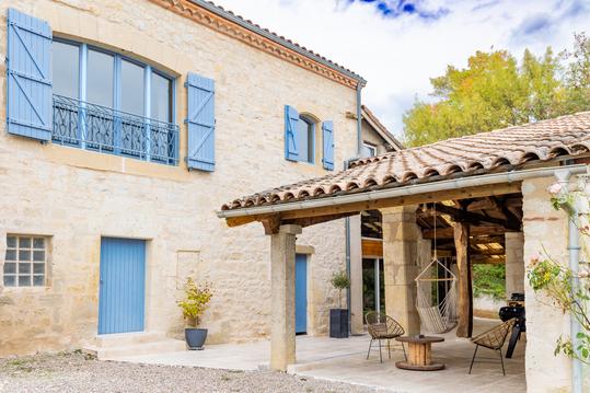
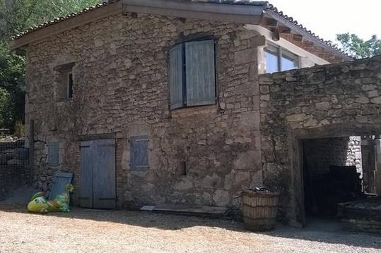
Photos & vidéos (2)
|
|
description
Départ : Place de l’église à Sainte-Gemme(81). Ce parcours est entièrement balisé en jaune (PR). Ce circuit vous fera découvrir une partie du Ségala Tarnais ainsi que les chemins qu’empruntaient les paysans mineurs pour se rendre dans les Mines autour de Carmaux.
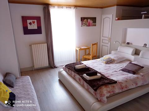
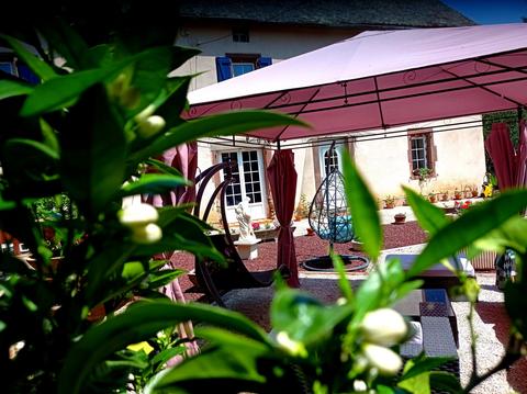
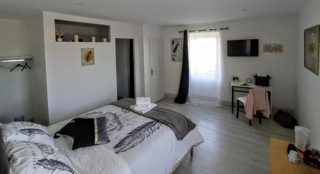
Hébergements à proximité
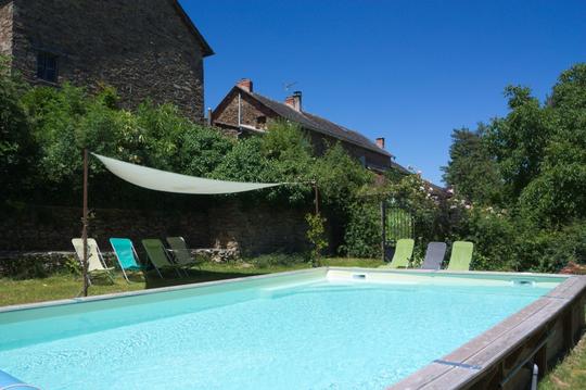

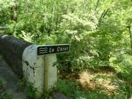
Pont sur le Céret
Il s'agit d'un Pont entre Sainte-gemme et les Farguettes.
infos parcours (12)
1
Place de l'église
Informations complémentaires
kilomètre
0,00
latitude
44.0895
altitude
358
m
longitude
2.19997
2
Patte-d'oie
Informations complémentaires
kilomètre
0,78
latitude
44.0924
altitude
332
m
longitude
2.19127
3
Intersection
Informations complémentaires
kilomètre
1,79
latitude
44.0892
altitude
349
m
longitude
2.18005
4
Première traversée du
Informations complémentaires
kilomètre
2,85
latitude
44.0812
altitude
278
m
longitude
2.18159
5
Intersection
Informations complémentaires
kilomètre
3,99
latitude
44.0741
altitude
337
m
longitude
2.1789
6
Intersection
Informations complémentaires
kilomètre
4,65
latitude
44.0761
altitude
332
m
longitude
2.18635
7
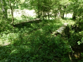
Passage du Céret
Informations complémentaires
kilomètre
5,11
latitude
44.0801
altitude
326
m
longitude
2.18794
8
Intersection
Informations complémentaires
kilomètre
5,63
latitude
44.0821
altitude
289
m
longitude
2.19205
9
Chemin à gauche
Informations complémentaires
kilomètre
6,18
latitude
44.081
altitude
333
m
longitude
2.19543
10
Intersection de chemins.
Informations complémentaires
kilomètre
7,03
latitude
44.0841
altitude
301
m
longitude
2.2023
11
Chemin à droite de la route
Informations complémentaires
kilomètre
7,43
latitude
44.086
altitude
335
m
longitude
2.2013
12
Place de l'église
Informations complémentaires
kilomètre
16,60
latitude
44.0895
altitude
358
m
longitude
2.19998
CodeNature
Note moyenne
Cartes associées
