
Mont Sant'Anghjulu et Refuge de Lento depuis le Col de Bigorno
- Mis à jour le 07/09/2024
- Identifiant 2559243


|
durée / niveau
Rando pédestre
|
distance
12,2 km
type parcours
Aller/Retour
|
|||||||||
|
Lieu de départ
20252
|
accessibilite
|
|||||||||
|
prestations payantes
Non
|
type(s) de sol
Graviers
Terre Herbe Rochers |
|||||||||
Hébergements à proximité
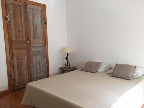
Maisonnette A Santa Ghjulia entre Mer & Montagne
maison au calme entre mer et montagne
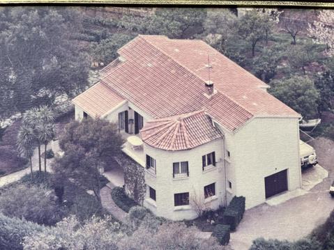
MAISON MONTAGNE CORSE à 800 m (proche de Corte)
les gites 114 u levante
Les gites 114 u pianu
A 10 Mn plage Bastia Biguglia
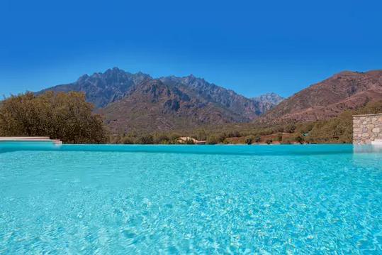
MAISON EN PIERRE ENTRE MER MONTAGNE ET PISCINE
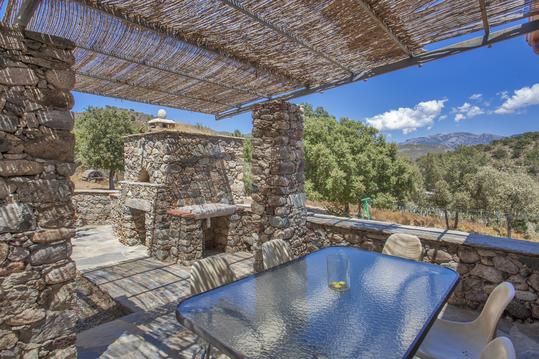
MAISON EN PIERRE GORGES DE L'ASCO

infos parcours (16)
Col de Bigorno - Antennes
Col de Bigorno - Antennes
Bocca Forca
Bocca a Croce
Croisement piste-sentier après bergerie
Monte Maggiore
Croce a Carogno
Ruisseau de Forci
Fontaine A Tre Ciottule.
Col sans nom
Montée face Sud du Sant'Anghjulu
Mont Sant'Anghjulu (alt. 1389 m)
Piste du refuge de Lento
Refuge de Lento
Début itinéraire retour
Col de Croce di l'Occhia
Jean-Jacques
Cartes associées
