
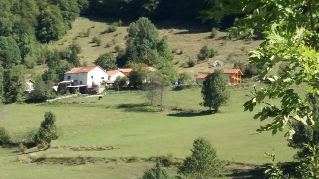
Chichilianne 1
- Mis à jour le 22/09/2024
- Identifiant 2575836
Sélectionner le fond de carte

PLAN IGN

PHOTOS AERIENNES

CARTES IGN MULTI-ECHELLES

TOP 25 IGN

CARTES DES PENTES

PARCELLES CADASTRALES

CARTES OACI

CARTES 1950 IGN

CARTE DE L’ETAT-MAJOR (1820-1866)

Open Street Map
Afficher les points d'intérêt à proximité
Hébergements
Informations
Lieux d'intérêts
Producteurs
Restauration
Services et Commerces
Autre
Echelle
|
durée / niveau
Rando pédestre
|
distance
17,3 km
type parcours
|
|||||||||
|
Lieu de départ
Chichilianne
|
accessibilite
|
|||||||||
|
prestations payantes
Non
|
type(s) de sol
|
|||||||||
description
François Maddaloni
Hébergements à proximité

infos parcours (12)
1
Accueil Station de Ski de Fond
Informations complémentaires
kilomètre
0,01
latitude
44.8225
altitude
1054
m
longitude
5.54702
2
1° Monument aux morts
Informations complémentaires
kilomètre
2,18
latitude
44.8162
altitude
1199
m
longitude
5.52249
3
2° Monument aux Morts
Informations complémentaires
kilomètre
3,68
latitude
44.808
altitude
1603
m
longitude
5.51237
4
Les Grottes
Informations complémentaires
kilomètre
3,92
latitude
44.8089
altitude
1614
m
longitude
5.51158
5
Cabane de Chamailloux
Informations complémentaires
kilomètre
4,32
latitude
44.8056
altitude
1626
m
longitude
5.51134
6
Carrefour Jase de Peyre Rouge
Informations complémentaires
kilomètre
7,28
latitude
44.8263
altitude
1715
m
longitude
5.50316
7
Arrivée Plaine du Queyrie
Informations complémentaires
kilomètre
8,69
latitude
44.8351
altitude
1767
m
longitude
5.50564
8
Pas des Bachassons
Informations complémentaires
kilomètre
10,44
latitude
44.847
altitude
1918
m
longitude
5.51838
9
Pas de la Selle
Informations complémentaires
kilomètre
11,54
latitude
44.8417
altitude
1885
m
longitude
5.52431
10
Pas de L'Aupet
Informations complémentaires
kilomètre
13,43
latitude
44.84
altitude
1644
m
longitude
5.54227
11
Cotte 1190
Informations complémentaires
kilomètre
15,78
latitude
44.8277
altitude
1193
m
longitude
5.54198
12
Accueil Station de Ski de Fond
Informations complémentaires
kilomètre
34,64
latitude
44.8225
altitude
1054
m
longitude
5.54709
Regis
Note moyenne
Cartes associées
