
la chapelle depuis CILAOS
- Thématique Découverte
- Mis à jour le 30/09/2024
- Identifiant 2580415
Sélectionner le fond de carte

PLAN IGN

PHOTOS AERIENNES

CARTES IGN MULTI-ECHELLES

TOP 25 IGN

CARTES DES PENTES

PARCELLES CADASTRALES

CARTES OACI

CARTES 1950 IGN

CARTE DE L’ETAT-MAJOR (1820-1866)

Open Street Map
Afficher les points d'intérêt à proximité
Hébergements
Informations
Lieux d'intérêts
Producteurs
Restauration
Services et Commerces
Autre
Echelle
|
durée / niveau
Rando pédestre
|
distance
7,3 km
type parcours
|
|||||||||
|
Lieu de départ
2 Impasse de la Chapelle
97413 Cilaos |
accessibilite
|
|||||||||
|
prestations payantes
Non
|
type(s) de sol
|
|||||||||
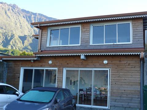
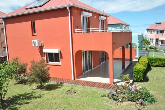
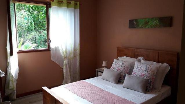
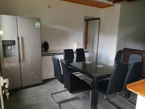
Hébergements à proximité

infos parcours (6)
1
Parking à la fin d'un petit lotissement
Informations complémentaires
kilomètre
0,01
latitude
-21.136
altitude
1157
m
longitude
55.4657
2
Balisage Sentier de la Chapelle
Informations complémentaires
kilomètre
0,39
latitude
-21.1375
altitude
1104
m
longitude
55.4631
3
Croisée chemin de l'Îlet à cordes
Informations complémentaires
kilomètre
1,77
latitude
-21.1407
altitude
834
m
longitude
55.4532
4
Rivière Bras Rouge, portion de la
Informations complémentaires
kilomètre
2,70
latitude
-21.135
altitude
766
m
longitude
55.4534
5
1er bassin
Informations complémentaires
kilomètre
3,01
latitude
-21.1349
altitude
780
m
longitude
55.4549
6
Parking à la fin d'un petit lotissement
Informations complémentaires
kilomètre
14,62
latitude
-21.136
altitude
1157
m
longitude
55.4657
Olivier
Note moyenne
Cartes associées
