
Choisille, Taillé, Beauchêne
- Thématique Balade
- Mis à jour le 03/11/2024
- Identifiant 2611638
Sélectionner le fond de carte

PLAN IGN

PHOTOS AERIENNES

CARTES IGN MULTI-ECHELLES

TOP 25 IGN

CARTES DES PENTES

PARCELLES CADASTRALES

CARTES OACI

CARTES 1950 IGN

CARTE DE L’ETAT-MAJOR (1820-1866)

Open Street Map
Afficher les points d'intérêt à proximité
Hébergements
Informations
Lieux d'intérêts
Producteurs
Restauration
Services et Commerces
Autre
Echelle
|
durée / niveau
Rando pédestre
|
distance
15,8 km
type parcours
Boucle
|
|||||||||
|
Lieu de départ
9 Rue Alfred de Musset
37230 Fondettes |
accessibilite
|
|||||||||
|
prestations payantes
Non
|
type(s) de sol
Bitume
Terre Herbe |
|||||||||
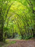
Photos & vidéos (1)
|
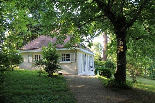
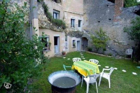
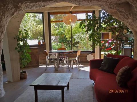
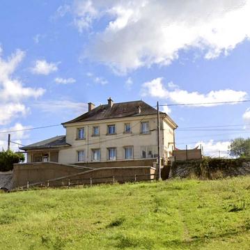
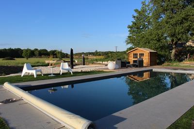
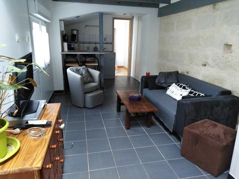
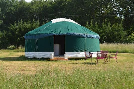
Hébergements à proximité

infos parcours (18)
1
8
Informations complémentaires
kilomètre
7,79
latitude
47.4223
altitude
70
m
longitude
0.637119
2
Dimanche 03/11/2024
Distance: 15.842 km https://www.openrunner.com/route-details/20194028
Informations complémentaires
kilomètre
0,01
latitude
47.4062
altitude
96
m
longitude
0.60615
3
15
Informations complémentaires
kilomètre
14,60
latitude
47.4118
altitude
95
m
longitude
0.59806
4
14
Informations complémentaires
kilomètre
17,90
latitude
47.4187
altitude
97
m
longitude
0.592992
5
13
Informations complémentaires
kilomètre
18,91
latitude
47.424
altitude
92
m
longitude
0.603015
6
12
Informations complémentaires
kilomètre
19,84
latitude
47.426
altitude
92
m
longitude
0.614096
7
11
Informations complémentaires
kilomètre
20,85
latitude
47.426
altitude
89
m
longitude
0.624477
8
10
Informations complémentaires
kilomètre
21,85
latitude
47.4174
altitude
86
m
longitude
0.626355
9
9
Informations complémentaires
kilomètre
22,81
latitude
47.4212
altitude
51
m
longitude
0.634128
10
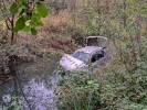
Voiture
Voiture tombée dans l'eau
|
Informations complémentaires
4 Chemin de Bois Jésus
37230 Fondettes
37230 Fondettes
kilomètre
27,79
latitude
47.4132
altitude
50
m
longitude
0.63618
11
7
Informations complémentaires
kilomètre
24,74
latitude
47.4142
altitude
52
m
longitude
0.63884
12
6
Informations complémentaires
kilomètre
25,73
latitude
47.4092
altitude
56
m
longitude
0.645267
13
5
Informations complémentaires
kilomètre
26,71
latitude
47.4056
altitude
50
m
longitude
0.640985
14
4
Informations complémentaires
kilomètre
27,61
latitude
47.4114
altitude
50
m
longitude
0.636161
15
3
Informations complémentaires
kilomètre
28,58
latitude
47.4178
altitude
67
m
longitude
0.633299
16
2
Informations complémentaires
kilomètre
29,53
latitude
47.4162
altitude
90
m
longitude
0.624573
17
1
Informations complémentaires
kilomètre
30,50
latitude
47.4137
altitude
94
m
longitude
0.612366
18
Epitactis helleborine
Informations complémentaires
kilomètre
27,23
latitude
47.408
altitude
49
m
longitude
0.637472

