
Bramafan Cipières Gréolières forti
- Mis à jour le 02/01/2025
- Identifiant 2653196
Sélectionner le fond de carte

PLAN IGN

PHOTOS AERIENNES

CARTES IGN MULTI-ECHELLES

TOP 25 IGN

CARTES DES PENTES

PARCELLES CADASTRALES

CARTES OACI

CARTES 1950 IGN

CARTE DE L’ETAT-MAJOR (1820-1866)

Open Street Map
Afficher les points d'intérêt à proximité
Hébergements
Informations
Lieux d'intérêts
Producteurs
Restauration
Services et Commerces
Autre
Echelle
|
durée / niveau
Rando pédestre
|
distance
12,7 km
type parcours
Aller Simple
|
|||||||||
|
Lieu de départ
3376 Chemin Departemental 503
Courmes |
accessibilite
|
|||||||||
|
prestations payantes
Non
|
type(s) de sol
Bitume
Terre Herbe Rochers |
|||||||||
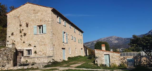
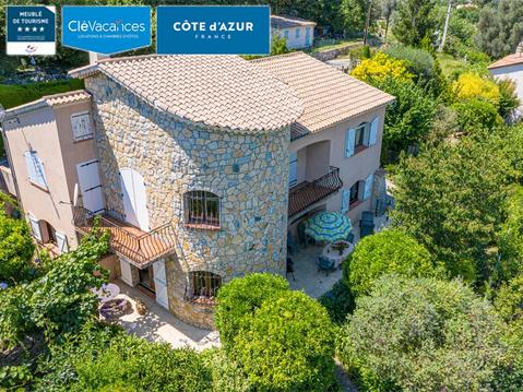
Hébergements à proximité


infos parcours (2)
1
Informations complémentaires
kilomètre
0,00
latitude
43.7627
altitude
477
m
longitude
6.98777
2
Informations complémentaires
kilomètre
12,82
latitude
43.7966
altitude
798
m
longitude
6.95063
Christine
Note moyenne
Cartes associées
