
ST PARDOUX MORTEROLLES CASCADES D'AUGEROLLES
- Thématique Randonnée
- Mis à jour le 16/01/2025
- Identifiant 2670258
Sélectionner le fond de carte

PLAN IGN

PHOTOS AERIENNES

CARTES IGN MULTI-ECHELLES

TOP 25 IGN

CARTES DES PENTES

PARCELLES CADASTRALES

CARTES OACI

CARTES 1950 IGN

CARTE DE L’ETAT-MAJOR (1820-1866)

Open Street Map
Afficher les points d'intérêt à proximité
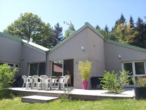
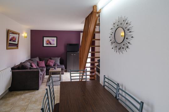
Hébergements
Informations
Lieux d'intérêts
Producteurs
Restauration
Services et Commerces
Autre
Echelle
|
durée / niveau
Rando pédestre
|
distance
16,2 km
type parcours
|
|||||||||
|
Lieu de départ
3 Rue de la Fontaine
23400 Saint-Pardoux-Morterolles |
accessibilite
|
|||||||||
|
prestations payantes
Non
|
type(s) de sol
Bitume
Terre Herbe Rochers |
|||||||||
|
Mots clés
CASCADES, AUGEROLLES
|
||||||||||
description
Départ de la mairie de Saint Pardoux nous suivons le balisage jaune sur ce circuit en boucle. L'intérêt est de découvrir les cascades d'Augeronnes.
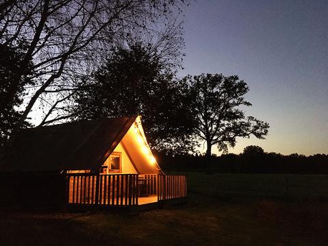
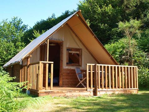
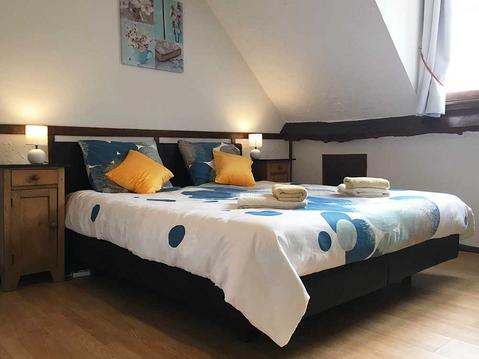
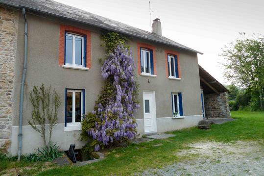
Hébergements à proximité

infos parcours (15)
1
Mairie de Saint Pardoux-Morterolles
Informations complémentaires
kilomètre
0,01
latitude
45.8974
altitude
614
m
longitude
1.81808
2
Carrefour à 4 directions
Informations complémentaires
kilomètre
0,52
latitude
45.901
altitude
654
m
longitude
1.81541
3
Route forestière
Informations complémentaires
kilomètre
1,52
latitude
45.9066
altitude
661
m
longitude
1.81965
4
Carrefour piste sentier
Informations complémentaires
kilomètre
3,86
latitude
45.9077
altitude
651
m
longitude
1.8422
5
GRP
Informations complémentaires
kilomètre
4,59
latitude
45.9042
altitude
629
m
longitude
1.84966
6
D58
Informations complémentaires
kilomètre
6,11
latitude
45.8955
altitude
594
m
longitude
1.84843
7
D58
Informations complémentaires
kilomètre
6,25
latitude
45.8946
altitude
600
m
longitude
1.85044
8
Ruisseau du Pic
Informations complémentaires
kilomètre
7,30
latitude
45.8943
altitude
515
m
longitude
1.84192
9
Chemin à gauche
Informations complémentaires
kilomètre
8,59
latitude
45.8917
altitude
611
m
longitude
1.85345
10
GRP
Informations complémentaires
kilomètre
10,67
latitude
45.8775
altitude
736
m
longitude
1.84434
11
Sentier à droite
Informations complémentaires
kilomètre
12,06
latitude
45.8819
altitude
645
m
longitude
1.83815
12
Sentier à droite
Informations complémentaires
kilomètre
13,21
latitude
45.8841
altitude
533
m
longitude
1.82963
13
Pont planche sur le ruisseau du Pic
Informations complémentaires
kilomètre
13,68
latitude
45.8883
altitude
486
m
longitude
1.8314
14
Entrée Saint-Pardoux
Informations complémentaires
kilomètre
14,80
latitude
45.8954
altitude
586
m
longitude
1.82434
15
Mairie/ parking
Informations complémentaires
kilomètre
32,30
latitude
45.8974
altitude
614
m
longitude
1.81803
