
Les Pics d’Escurets (1440m) et Senzouens (1392m) par les Cromlechs de Lous Couraus et la Cabane Castillou
- Mis à jour le 17/01/2025
- Identifiant 2671436
Sélectionner le fond de carte

PLAN IGN

PHOTOS AERIENNES

CARTES IGN MULTI-ECHELLES

TOP 25 IGN

CARTES DES PENTES

PARCELLES CADASTRALES

CARTES OACI

CARTES 1950 IGN

CARTE DE L’ETAT-MAJOR (1820-1866)

Open Street Map
Afficher les points d'intérêt à proximité
Hébergements
Informations
Lieux d'intérêts
Producteurs
Restauration
Services et Commerces
Autre
Echelle
|
durée / niveau
Rando pédestre
|
distance
15,5 km
type parcours
|
|||||||||
|
Lieu de départ
64260
|
accessibilite
|
|||||||||
|
prestations payantes
Non
|
type(s) de sol
Terre
|
|||||||||
description
durée 6h dist 16km d+850 boucle
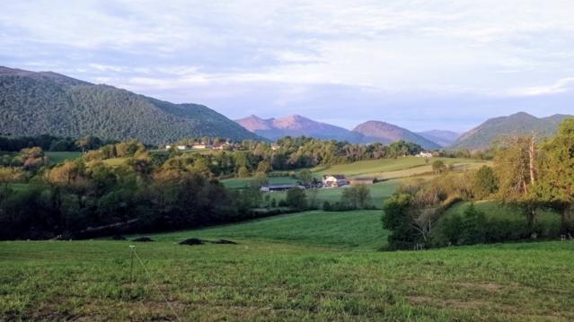
Hébergements à proximité


infos parcours (11)
1
Depart-Chapelle-de-Houndas-830m
Informations complémentaires
kilomètre
0,02
latitude
43.0632
altitude
833
m
longitude
-0.457701
2
Cromlechs de Lou Couraus 960m
Informations complémentaires
kilomètre
1,78
latitude
43.0674
altitude
965
m
longitude
-0.446373
3
pic de Barsaut 1368m
Informations complémentaires
kilomètre
4,51
latitude
43.0781
altitude
1355
m
longitude
-0.471876
4
Col de la Hount Barrade 1316m
Informations complémentaires
kilomètre
4,51
latitude
43.0768
altitude
1319
m
longitude
-0.472659
5
Soum de Counée 1361m
Informations complémentaires
kilomètre
4,67
latitude
43.0752
altitude
1335
m
longitude
-0.472991
6
cabane de Castillou 1268m
Informations complémentaires
kilomètre
5,55
latitude
43.0792
altitude
1258
m
longitude
-0.482842
7
Le Senzouens Ou le Brèque 1392m
Informations complémentaires
kilomètre
7,39
latitude
43.084
altitude
1388
m
longitude
-0.502453
8
Pic D'Escurets 1440m
Pic D'Escurets 1440m
Informations complémentaires
kilomètre
8,55
latitude
43.0871
altitude
1431
m
longitude
-0.513568
9
Col de Marie Blanque 1035m
Informations complémentaires
kilomètre
10,88
latitude
43.0706
altitude
1035
m
longitude
-0.507456
10
Croisement-970m
Informations complémentaires
kilomètre
11,29
latitude
43.072
altitude
978
m
longitude
-0.504029
11
Turon-de-la-Tecouere-1067m
Informations complémentaires
kilomètre
12,82
latitude
43.0641
altitude
1063
m
longitude
-0.494069
LAETITIA
Note moyenne
Cartes associées
