
Balade « A la découverte du temps passé »
- Mis à jour le 23/12/2024
- Identifiant 2679101


|
durée / niveau
Rando pédestre
|
distance
1,4 km
type parcours
|
|||||||||
|
Lieu de départ
18 Rue de l'Église
35560 VAL-COUESNON |
accessibilite
|
|||||||||
|
prestations payantes
Non
|
type(s) de sol
|
|||||||||
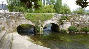
Photos & vidéos (1)
|
description
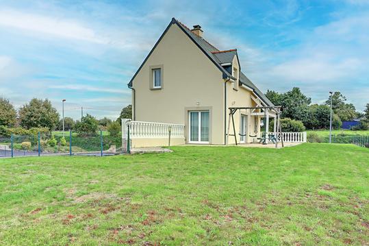
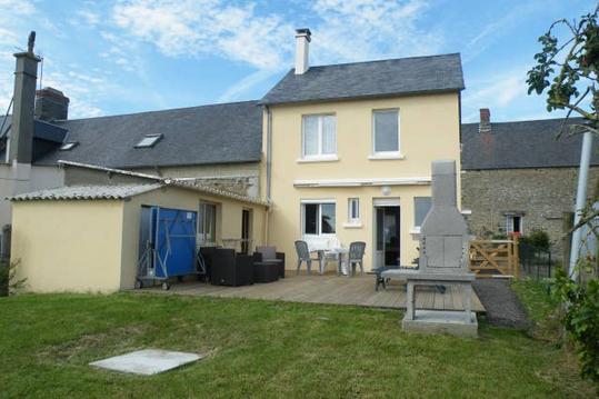
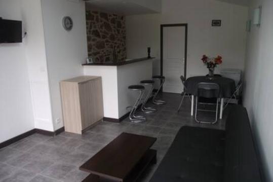
Hébergements à proximité
gite baie du mont saint michel
maison dans la baie du Mont-Saint-Michel

* MONT SAINT MICHEL * Maison individuelle
la campagne au pied du mt st michel
Les Hirondelles de la Baie
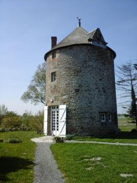
Moulin à vent classé
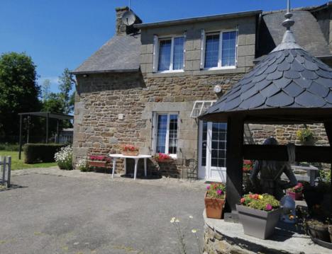
Gîte près St Malo/Cancale, Mt St Michel, Rennes
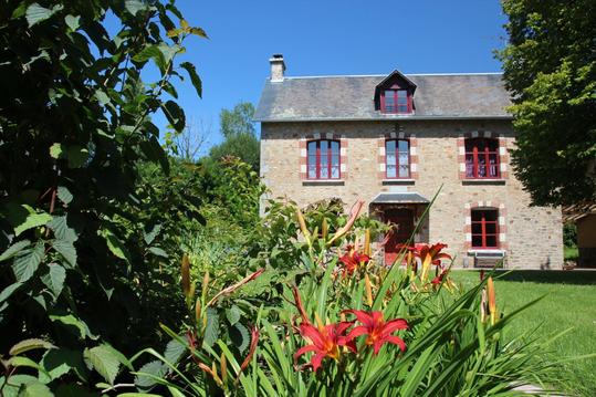
La Cochardière, propriété spacieuse et reposante

Points d'interêt (11)
L’église
35560 VAL-COUESNON
Ancienne mairie
35560 VAL-COUESNON
Maison à pans de bois
35560 VAL-COUESNON
La prison
35560 VAL-COUESNON
Le lavoir / quartier Loysance
35560
L’Aumaillerie
35560 VAL-COUESNON
La place Foch
35560 VAL-COUESNON
Le Cercle Antrainais
35560 VAL-COUESNON
L’hôtel Grand Maison
35560 VAL-COUESNON
La rue René Le Hérissé et ses maisons
35560 VAL-COUESNON
L’auberge Notre-Dame
35560 VAL-COUESNON

